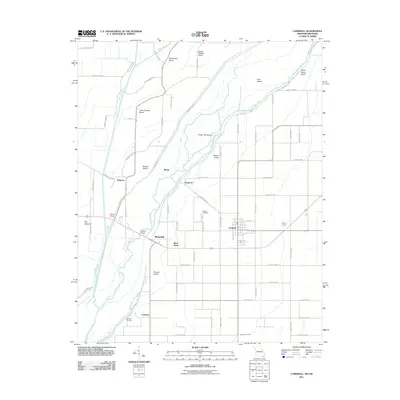
2011 Map of Cardwell
USGS Topo · Published 2011About this map
The Saint Francis River and its intricate network of island landforms dictate the landscape of this Missouri-Arkansas border region. Numerous named landmasses, including Indian Hill Island, Wilkins Island, and Boland Island, define the river's meandering path, reflecting the complex hydrology of the Bootheel region. The township of Cardwell serves as the primary population center, supported by a grid of rural routes and smaller settlements such as Riverside, Bertig, and Hargrove.
Find a feature on this map
65 named features on this map. Tap any name to fly to it.
Don’t see what you’re looking for? This feature index may not catch every label — zoom into the map to look around manually.
Map Details
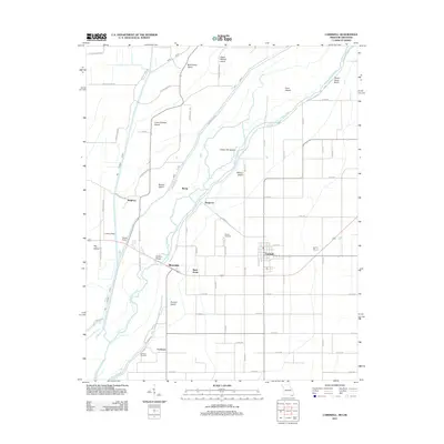
Editions of this 2011 Cardwell Map
2 editions found
Other maps of this area

1934 · Kennett
USGS Topo · 1:62,500

1940 · Marmaduke
USGS Topo · 1:62,500

1940 · Kennett
USGS Topo · 1:62,500

1941 · Leachville
USGS Topo · 1:62,500

1941 · Manila
USGS Topo · 1:62,500

1953 · Memphis
USGS Topo · 1:250,000

1956 · Leachville
USGS Topo · 1:62,500

1956 · Kennett
USGS Topo · 1:62,500

1956 · Manila
USGS Topo · 1:62,500

1956 · Memphis
USGS Topo · 1:250,000