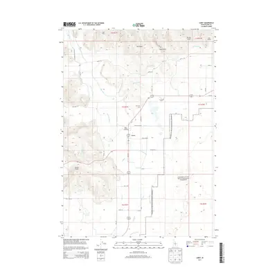
2013 Map of Carey
USGS Topo · Published 2013About this map
Carey and its surrounding agricultural valley are defined by a complex irrigation network and striking volcanic geography. The lifeblood of this high-desert community is the water managed through the Little Wood River and an extensive system of man-made waterways, including the East Canal, West Canal, and High Line Canal. These channels feed the fields surrounding the town center, while the Little Wood Reservoir and Harris Reservoir provide essential water storage. The landscape is punctuated by the dramatic elevation of Queens Crown and the Lake Hills, while the eastern edge of the quadrangle marks the start of the massive lava fields protected within the Craters of the Moon National Preserve.
Find a feature on this map
47 named features on this map. Tap any name to fly to it.
Don’t see what you’re looking for? This feature index may not catch every label — zoom into the map to look around manually.
Map Details
Editions of this 2013 Carey Map
This is the sole edition of this map. No revisions or reprints were ever made.
Other maps of this area

1955 · Idaho Falls
USGS Topo · 1:250,000

1955 · Hailey
USGS Topo · 1:250,000

1958 · Idaho Falls
USGS Topo · 1:250,000

1959 · Hailey
USGS Topo · 1:250,000

1962 · Hailey
USGS Topo · 1:250,000

1978 · Craters Of The Moon
USGS Topo · 1:100,000
1979 · Paddelford Flat
USGS Topo · 1:24,000
1979 · Pagari Well
USGS Topo · 1:24,000
1979 · Wagon Butte
USGS Topo · 1:24,000
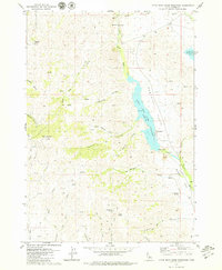
1979 · Little Wood River Reservoir
USGS Topo · 1:24,000