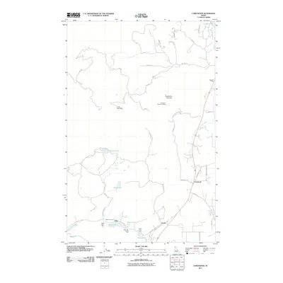
2011 Map of Careywood
USGS Topo · Published 2011About this map
Careywood and the surrounding Idaho Panhandle landscape are defined by a chain of glacial lakes and the rising slopes of the Cabinet Mountains. In the southern portion of the quadrangle, the small settlements of Granite and Kelso sit near a cluster of water bodies including Kelso Lake, Round Lake, and Granite Lake. This area shows a transition from the agricultural and residential pockets in the valley to the more remote timberlands of the Kaniksu National Forest.
Find a feature on this map
44 named features on this map. Tap any name to fly to it.
Don’t see what you’re looking for? This feature index may not catch every label — zoom into the map to look around manually.
Map Details
Editions of this 2011 Careywood Map
This is the sole edition of this map. No revisions or reprints were ever made.
Other maps of this area

1901 · Sandpoint
USGS Topo · 1:125,000

1903 · Rathdrum
USGS Topo · 1:125,000

1911 · Priest Lake
USGS Topo · 1:250,000

1911 · Sandpoint
USGS Topo · 1:125,000

1913 · Priest Lake
USGS Topo · 1:250,000

1955 · Spokane
USGS Topo · 1:250,000

1958 · Spokane
USGS Topo · 1:250,000

1958 · Sandpoint
USGS Topo · 1:250,000

1961 · Bayview
USGS Topo · 1:24,000

1961 · Spirit Lake East
USGS Topo · 1:24,000