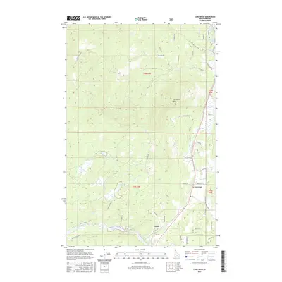
2017 Map of Careywood
USGS Topo · Published 2017About this map
Careywood and the small community of Granite anchor this part of northern Idaho, situated along the transport corridor that skirts the eastern edge of the Selkirk mountains. The landscape is defined by a dense concentration of glacial basins, including Kelso Lake, Round Lake, and Granite Lake, which sit at the base of the rising timberland. This network of water bodies and small creeks like Hoodoo Cr suggests a region where the local economy and settlement patterns are dictated by the narrow valleys between high ridges.
Find a feature on this map
60 named features on this map. Tap any name to fly to it.
Don’t see what you’re looking for? This feature index may not catch every label — zoom into the map to look around manually.
Map Details
Editions of this 2017 Careywood Map
This is the sole edition of this map. No revisions or reprints were ever made.
Other maps of this area

1901 · Sandpoint
USGS Topo · 1:125,000

1903 · Rathdrum
USGS Topo · 1:125,000

1911 · Priest Lake
USGS Topo · 1:250,000

1911 · Sandpoint
USGS Topo · 1:125,000

1913 · Priest Lake
USGS Topo · 1:250,000

1955 · Spokane
USGS Topo · 1:250,000

1958 · Spokane
USGS Topo · 1:250,000

1958 · Sandpoint
USGS Topo · 1:250,000

1961 · Bayview
USGS Topo · 1:24,000

1961 · Spirit Lake East
USGS Topo · 1:24,000