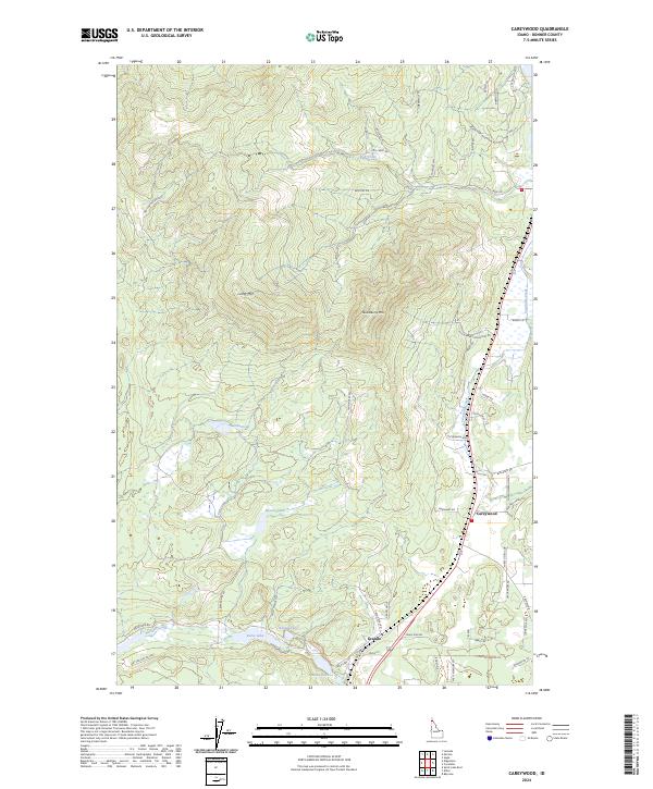
2024 Map of Careywood
USGS Topo · Published 2024About this map
Careywood and Granite anchor this portion of Bonner County, where the landscape transitions from the heights of Long Mtn and Huckleberry Mtn down toward a series of natural basins. A string of glacial lakes—including Kelso Lake, Round Lake, Granite Lake, and Beaver Lake—defines the southern half of the quadrangle, reflecting the area's complex hydrology. The network of local roads such as Blacktail Rd and Huckleberry Mountain Rd trace the timbered slopes and creek bottoms. Historically significant for its connection to northern rail and timber routes, the area's geography is punctuated by infrastructure like Topes Pit and the flow of Cocolalla Creek through the eastern valley. This survey details the land as it appeared in 2024, showing the continued development of rural home sites and timber access roads throughout the mountains.
Find a feature on this map
58 named features on this map. Tap any name to fly to it.
Don’t see what you’re looking for? This feature index may not catch every label — zoom into the map to look around manually.
Map Details
Editions of this 2024 Careywood Map
This is the sole edition of this map. No revisions or reprints were ever made.
Other maps of this area

1901 · Sandpoint
USGS Topo · 1:125,000

1903 · Rathdrum
USGS Topo · 1:125,000

1911 · Priest Lake
USGS Topo · 1:250,000

1911 · Sandpoint
USGS Topo · 1:125,000

1913 · Priest Lake
USGS Topo · 1:250,000

1955 · Spokane
USGS Topo · 1:250,000

1958 · Spokane
USGS Topo · 1:250,000

1958 · Sandpoint
USGS Topo · 1:250,000

1961 · Bayview
USGS Topo · 1:24,000

1961 · Spirit Lake East
USGS Topo · 1:24,000