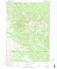
1966 Map of Caribou mtn
USGS Topo · Published 1977About this map
Caribou Mountain dominates this mid-1960s landscape, serving as a hub for historical mining activity and mountain travel. The eastern slopes are marked by the Caribou City (Site), a vestige of a former settlement situated near the headwaters of Anderson Gulch. Traces of the region's industrial past are preserved in the locations of the Monte Cristo Mine and the Evergreen Mine, while the Gray Cem stands near the southern border as a record of early local families.
Find a feature on this map
26 named features on this map. Tap any name to fly to it.
Don’t see what you’re looking for? This feature index may not catch every label — zoom into the map to look around manually.
Map Details
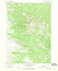
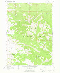
Editions of this 1966 Caribou mtn Map
3 editions found
Other maps of this area

1915 · Freedom
USGS Topo · 1:62,500

1915 · Lanes Creek
USGS Topo · 1:62,500

1932 · Irwin
USGS Topo · 1:96,000

1935 · Irwin
USGS Topo · 1:125,000

1955 · Driggs
USGS Topo · 1:250,000

1955 · Preston
USGS Topo · 1:250,000

1958 · Driggs
USGS Topo · 1:250,000

1958 · Preston
USGS Topo · 1:250,000

1962 · Driggs
USGS Topo · 1:250,000

1962 · Preston
USGS Topo · 1:250,000