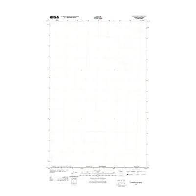
2013 Map of Caribou OE N
USGS Topo · Published 2013About this map
The Canada / United States of America border defines the northern edge of this landscape, marking a remote section where Kittson Co and Roseau Co meet in far northern Minnesota. This quadrangle captures a sparse, grid-patterned terrain typical of the international boundary region in the early twenty-first century. The area is characterized by vast open spaces and minimal infrastructure, primarily defined by the survey lines of the public land system. While few individual landmarks are named, the map serves as a precise record of the administrative and political boundaries that separate these two nations and their respective county jurisdictions in the northernmost reaches of the state.
Find a feature on this map
4 named features on this map. Tap any name to fly to it.
Don’t see what you’re looking for? This feature index may not catch every label — zoom into the map to look around manually.
Map Details
Editions of this 2013 Caribou OE N Map
This is the sole edition of this map. No revisions or reprints were ever made.
Other maps of this area

1918 · Hemmington
USGS Topo · 1:62,500

1930 · Juneberry
USGS Topo · 1:31,680

1932 · Juneberry
USGS Topo · 1:62,500

1952 · Thief River Falls
USGS Topo · 1:250,000

1956 · Thief River Falls
USGS Topo · 1:250,000

1957 · Thief River Falls
USGS Topo · 1:250,000

1966 · Caribou
USGS Topo · 1:24,000

1966 · Skull Lake NE
USGS Topo · 1:24,000
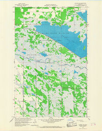
1966 · Caribou NE
USGS Topo · 1:24,000

1967 · Thief River Falls
USGS Topo · 1:250,000