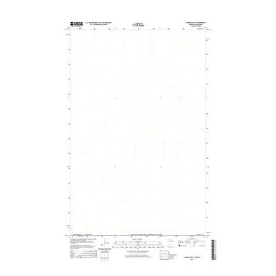
2016 Map of Caribou OE N
USGS Topo · Published 2016About this map
The United States of America/Canada international boundary defines the northern edge of this 2016 survey, where the extreme northwestern corner of Minnesota meets Manitoba. This sparsely settled region is divided between Kittson Co and Roseau Co, capturing a landscape where public land surveys and political boundaries are the primary markers of human presence. The map documents the precise division of Minnesota territory at the 49th parallel, providing a clear view of the section lines and township grids that organize this remote borderland. The absence of traditional contours in the source data reflects the exceptionally flat, low-lying character of the terrain common to this part of the Red River Valley drainage basin.
Find a feature on this map
3 named features on this map. Tap any name to fly to it.
Don’t see what you’re looking for? This feature index may not catch every label — zoom into the map to look around manually.
Map Details
Editions of this 2016 Caribou OE N Map
This is the sole edition of this map. No revisions or reprints were ever made.
Other maps of this area

1918 · Hemmington
USGS Topo · 1:62,500

1930 · Juneberry
USGS Topo · 1:31,680

1932 · Juneberry
USGS Topo · 1:62,500

1952 · Thief River Falls
USGS Topo · 1:250,000

1956 · Thief River Falls
USGS Topo · 1:250,000

1957 · Thief River Falls
USGS Topo · 1:250,000

1966 · Caribou
USGS Topo · 1:24,000

1966 · Skull Lake NE
USGS Topo · 1:24,000
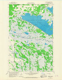
1966 · Caribou NE
USGS Topo · 1:24,000

1967 · Thief River Falls
USGS Topo · 1:250,000