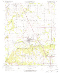
1963 Map of Carl Junction
USGS Topo · Published 1964About this map
The Spring River and Center Creek valley floor is heavily marked by the region's lead and zinc mining legacy, with numerous Tailings piles and a Quarry scattered across the landscape. The transportation network of the early 1960s is defined by the intersection of major rail lines including the Kansas City Southern and the St Louis - San Francisco railroads. This survey documents the transition from active extraction to suburban expansion, notably around Carl Junction and Airport Drive. Local genealogists will find several landmarks of interest, from the Brick Sch to various rural cemeteries like Howard Cem and Twin Grove Cem. Small communities such as Waco, Stringtown, and Klondike are shown in detail, alongside the Old Railroad Grade that hints at earlier industrial routes no longer in service by the time of this field check.
Find a feature on this map
38 named features on this map. Tap any name to fly to it.
Don’t see what you’re looking for? This feature index may not catch every label — zoom into the map to look around manually.
Map Details
Editions of this 1963 Carl Junction Map
2 editions found
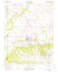
Other maps of this area

1886 · Joplin
USGS Topo · 1:125,000

1886 · Carthage
USGS Topo · 1:125,000

1894 · Joplin
USGS Topo · 1:125,000

1894 · Carthage
USGS Topo · 1:125,000

1945 · Pittsburg
USGS Topo · 1:62,500

1947 · Joplin
USGS Topo · 1:250,000

1947 · Pittsburg
USGS Topo · 1:62,500

1949 · Joplin
USGS Topo · 1:250,000

1950 · Pittsburg
USGS Topo · 1:62,500

1954 · Joplin
USGS Topo · 1:250,000