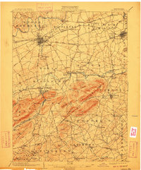
1904 Map of Carlisle
USGS Topo · Published 1910About this map
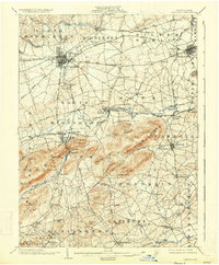
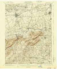
Carlisle serves as a major hub for the Cumberland Valley during the first years of the twentieth century, anchored by the Carlisle Indian School and a dense network of rail lines. The Cumberland Valley RR and various Electric RR lines connect numerous smaller communities like Boiling Springs, Mount Holly Springs, and Mechanicsburg. South of the valley floor, the landscape rises sharply into Piney Mountain and Long Mountain, where the industrial character of the region is evident at Reading Banks and various mill sites including Deardorffs Mill and Pondtown Mill. This era captures the transition between water-powered industry along Yellow Breeches Creek and the growing influence of the railroad junctions. Cultural landmarks such as Salem Church and Goodyear Zion Church provide specific points of interest for genealogists tracing local families across the Cumberland and York county line.
Find a feature on this map
108 named features on this map. Tap any name to fly to it.
Don’t see what you’re looking for? This feature index may not catch every label — zoom into the map to look around manually.
Map Details
Editions of this 1904 Carlisle Map
7 editions found
Other maps of this area

1892 · Harrisburg
USGS Topo · 1:62,500

1899 · Harrisburg
USGS Topo · 1:62,500

1904 · Carlisle
USGS Topo · 1:62,500

1906 · New Cumberland
USGS Topo · 1:62,500

1907 · New Bloomfield
USGS Topo · 1:62,500

1908 · Gettysburg
USGS Topo · 1:62,500

1909 · Fairfield
USGS Topo · 1:62,500

1919 · Newville
USGS Topo · 1:62,500

1920 · Hanover
USGS Topo · 1:62,500

1922 · Hanover
USGS Topo · 1:62,500
Featured Places
- Carlisle, PA
- Middlesex Township, PA
- Schlusser, PA
- Boiling Springs, South Middleton Township
- Latimore Township, PA