
1904 Map of Carlisle
USGS Topo · Published 1904About this map
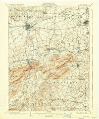
Carlisle serves as the central hub of this early twentieth-century survey, revealing a landscape defined by industrial expansion and significant cultural landmarks. The presence of the Carlisle Indian School near the Cumberland Valley RR and Letort Spring Run marks a distinct chapter in the area's social history. To the south, the topography shifts dramatically toward South Mountain, where the Gettysburg and Harrisburg RR winds through gaps near Mount Holly Springs and Hunters Run.
Find a feature on this map
91 named features on this map. Tap any name to fly to it.
Don’t see what you’re looking for? This feature index may not catch every label — zoom into the map to look around manually.
Map Details
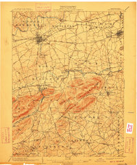
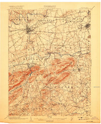
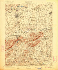
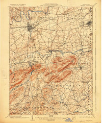
Editions of this 1904 Carlisle Map
7 editions found
Other maps of this area

1892 · Harrisburg
USGS Topo · 1:62,500

1899 · Harrisburg
USGS Topo · 1:62,500

1906 · New Cumberland
USGS Topo · 1:62,500

1907 · New Bloomfield
USGS Topo · 1:62,500

1908 · Gettysburg
USGS Topo · 1:62,500

1909 · Fairfield
USGS Topo · 1:62,500

1919 · Newville
USGS Topo · 1:62,500

1920 · Hanover
USGS Topo · 1:62,500

1922 · Hanover
USGS Topo · 1:62,500

1924 · Harrisburg
USGS Topo · 1:62,500
Featured Places
- Carlisle, PA
- Middlesex Township, PA
- Schlusser, PA
- Boiling Springs, South Middleton Township
- Latimore Township, PA