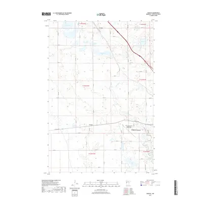
2019 Map of Carlisle
USGS Topo · Published 2019About this map
Fergus Falls and the surrounding prairie of Otter Tail County are defined by a complex network of glacial lakes and river systems. The Otter Tail River and Pelican River converge in the southeastern portion of this landscape, supporting the Dayton Hollow Reservoir. These waterways historically dictated the development of early settlements like Carlisle and French, which persist as small communities linked by a grid of county highways and former transit routes like Old Hwy 52.
Find a feature on this map
37 named features on this map. Tap any name to fly to it.
Don’t see what you’re looking for? This feature index may not catch every label — zoom into the map to look around manually.
Map Details
Editions of this 2019 Carlisle Map
This is the sole edition of this map. No revisions or reprints were ever made.
Other maps of this area

1910 · Wendell
USGS Topo · 1:62,500

1913 · Fergus Falls
USGS Topo · 1:62,500

1913 · Wendell
USGS Topo · 1:62,500

1919 · Rothsay
USGS Topo · 1:62,500

1951 · Rothsay
USGS Topo · 1:62,500

1951 · Campbell
USGS Topo · 1:62,500

1953 · Fargo
USGS Topo · 1:250,000

1956 · Fargo
USGS Topo · 1:250,000

1966 · Carlisle
USGS Topo · 1:24,000
1973 · Dayton Hollow Dam
USGS Topo · 1:24,000