
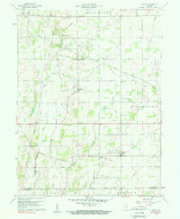
1960 Map of Carlos
USGS Topo · Published 1961About this map
Unionport and Buena Vista anchor the northern reaches of this rural landscape, which is defined by a dense network of small streams and agricultural drainage systems. The White River clips the northern boundary, while tributaries like Cabin Creek, Martindale Creek, and Mortar Creek carve through the farm country of Union and Washington townships. The Indian Treaty Boundary cuts diagonally across the western half of the map, a significant historical line still reflected in the local property and road patterns. Transport and infrastructure are centered on the New York Central rail line passing through Carlos and Modoc, alongside several large pipelines that cross the terrain. For genealogists, the map preserves the locations of several rural assembly points, including Salem Cem, Jordan Cem, and local congregations like Martindale Ch.
Find a feature on this map
48 named features on this map. Tap any name to fly to it.
Don’t see what you’re looking for? This feature index may not catch every label — zoom into the map to look around manually.
Map Details
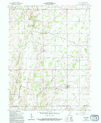
Editions of this 1960 Carlos Map
3 editions found
Other maps of this area

1915 · New Paris
USGS Topo · 1:48,000

1916 · Winchester
USGS Topo · 1:48,000

1918 · Winchester
USGS Topo · 1:62,500

1918 · New Paris
USGS Topo · 1:62,500

1943 · Winchester
USGS Topo · 1:62,500

1952 · Maxville
USGS Topo · 1:24,000

1952 · Farmland
USGS Topo · 1:24,000

1953 · Cincinnati
USGS Topo · 1:250,000

1953 · Muncie
USGS Topo · 1:250,000

1956 · Muncie
USGS Topo · 1:250,000