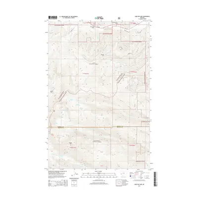
2014 Map of Carlton Lake
USGS Topo · Published 2014About this map
Lolo National Forest and Bitterroot National Forest converge in this high-elevation Montana landscape, marked by a dense network of drainages and prominent summits. The terrain is defined by dramatic peaks including Mormon Peak, Lolo Peak, and Sweeney Peak, which overlook a series of glacial lakes. Notable water bodies such as Carlton Lake, Little Carlton Lake, and the trio of N One Horse Lake, Reed Lake, and S One Horse Lake are clustered along the eastern slopes of the main ridgelines.
Find a feature on this map
39 named features on this map. Tap any name to fly to it.
Don’t see what you’re looking for? This feature index may not catch every label — zoom into the map to look around manually.
Map Details
Editions of this 2014 Carlton Lake Map
This is the sole edition of this map. No revisions or reprints were ever made.
Other maps of this area

1912 · Missoula
USGS Topo · 1:125,000

1956 · Hamilton
USGS Topo · 1:250,000

1959 · Hamilton
USGS Topo · 1:250,000

1960 · Hamilton
USGS Topo · 1:250,000

1964 · Hamilton
USGS Topo · 1:250,000

1964 · Dick Creek
USGS Topo · 1:24,000
1964 · Blue Mountain
USGS Topo · 1:24,000
1964 · Camp Creek
USGS Topo · 1:24,000
1964 · Southwest Missoula
USGS Topo · 1:24,000

1964 · St. Joseph Peak
USGS Topo · 1:24,000