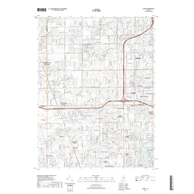
2019 Map of Carmel
USGS Topo · Published 2019About this map
Carmel and Zionsville anchor this 2019 survey, showcasing a landscape of dense residential development and suburban growth along the Hamilton and Marion County line. The map highlights the transformation of former rail corridors into recreation, most notably the Monon Trail, which cuts a linear path through Home Place and Orchard Park. This transition from industrial infrastructure to community greenways is a central theme, as modern neighborhoods like Westchester Estates and Delaware Trails fill the spaces between historic established settlements.
Find a feature on this map
72 named features on this map. Tap any name to fly to it.
Don’t see what you’re looking for? This feature index may not catch every label — zoom into the map to look around manually.
Map Details
Editions of this 2019 Carmel Map
This is the sole edition of this map. No revisions or reprints were ever made.
Other maps of this area

1948 · Indianapolis East
USGS Topo · 1:24,000

1948 · Indianapolis West
USGS Topo · 1:24,000

1952 · Fishers
USGS Topo · 1:24,000

1952 · Carmel
USGS Topo · 1:24,000

1953 · Westfield
USGS Topo · 1:24,000

1953 · Rosston
USGS Topo · 1:24,000

1953 · Zionsville
USGS Topo · 1:24,000

1953 · Noblesville
USGS Topo · 1:24,000

1953 · Clermont
USGS Topo · 1:24,000

1953 · Danville
USGS Topo · 1:250,000