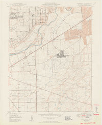
1950 Map of Carmichael
USGS Topo · Published 1950About this map
Carmichael and the surrounding river bottomlands sit at a point of transition in this mid-century portrait of Sacramento County. North of the American River, the suburban grid begins to take shape along Marconi Ave and El Camino Ave, while the southern half of the sheet remains dominated by the sprawling U S Military Reservation and the active runways of Mather Field. The landscape still bears the heavy marks of industrial history, with prominent dredge tailings lining the river banks near Citrus and the Southern Pacific tracks.
Find a feature on this map
45 named features on this map. Tap any name to fly to it.
Don’t see what you’re looking for? This feature index may not catch every label — zoom into the map to look around manually.
Map Details
Editions of this 1950 Carmichael Map
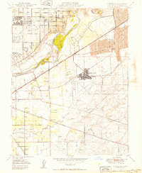
2 editions found
Other maps of this area

1891 · Sacramento
USGS Topo · 1:125,000

1892 · Sacramento
USGS Topo · 1:125,000

1893 · Sacramento
USGS Topo · 1:125,000

1894 · Lodi
USGS Topo · 1:125,000

1902 · Fairoaks
USGS Topo · 1:62,500

1908 · Buffalo Creek
USGS Topo · 1:31,680

1909 · Elk Grove
USGS Topo · 1:31,680

1909 · Cosumnes
USGS Topo · 1:31,680

1909 · Florin
USGS Topo · 1:31,680

1911 · Brighton
USGS Topo · 1:31,680