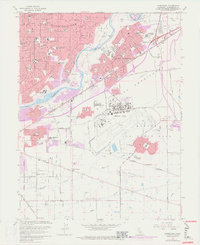
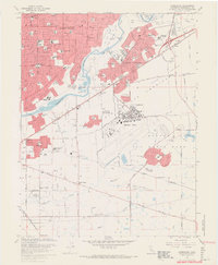
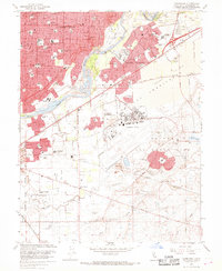
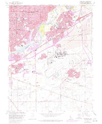
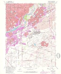
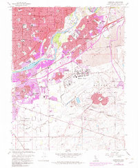
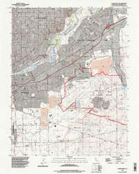
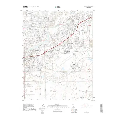
1967 Map of Carmichael
USGS Topo · Published 1977About this map
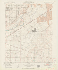
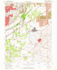
The American River carves a wide path through this mid-century landscape, framed by extensive American River Tailings and dredge operations that define the riverbanks near Citrus. The area is characterized by the rapid post-war suburbanization of Carmichael and Rancho Cordova, evidenced by a dense network of residential schools like Deterding Sch and Jesuit H S. To the south, the massive footprint of Mather Air Force Base dominates the terrain with its runways, Landing Field, and dedicated housing areas like Mather Heights Sch.
Find a feature on this map
104 named features on this map. Tap any name to fly to it.
Don’t see what you’re looking for? This feature index may not catch every label — zoom into the map to look around manually.
Map Details
Editions of this 1967 Carmichael Map
6 editions found
Historical Maps of Sacramento Through Time
9 maps found
1950 Carmichael
Sacramento County, CA
1954 Carmichael
Sacramento County, CA
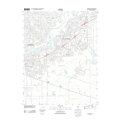
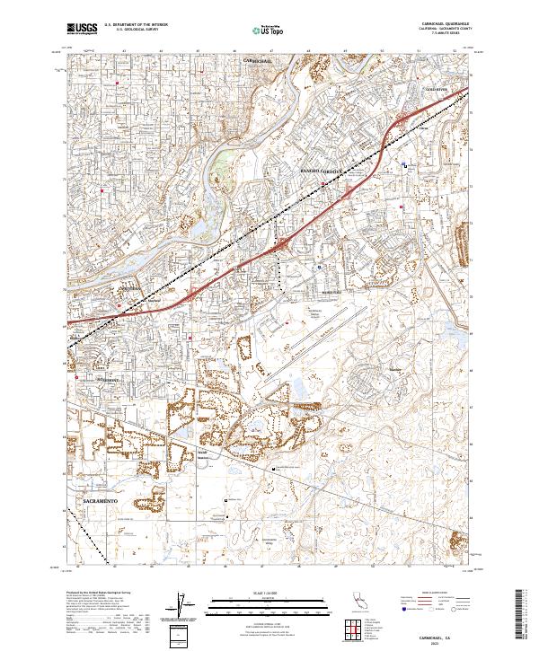
1967 Carmichael
Sacramento County, CA
1992 Carmichael
Sacramento County, CA
2012 Carmichael
Sacramento County, CA
2015 Carmichael
Sacramento County, CA
2018 Carmichael
Sacramento County, CA
2022 Carmichael
Sacramento County, CA
2023 Carmichael
Sacramento County, CA