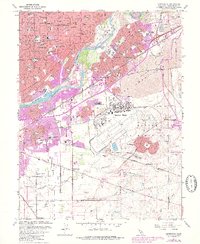
1967 Map of Carmichael
USGS Topo · Published 1980About this map
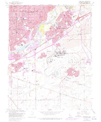
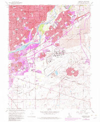
Carmichael and Rancho Cordova anchor this survey of the Sacramento valley during a period of rapid suburban expansion. The sprawling footprint of Mather Air Force Base dominates the southern half of the map, featuring Mather Lake and the residential enclave of Mather Heights. North of the base, the American River carves a green corridor through the landscape, flanked by Ancill Hoffman Park and Goethe Park.
Find a feature on this map
83 named features on this map. Tap any name to fly to it.
Don’t see what you’re looking for? This feature index may not catch every label — zoom into the map to look around manually.
Map Details
Editions of this 1967 Carmichael Map
6 editions found
Other maps of this area

1891 · Sacramento
USGS Topo · 1:125,000

1892 · Sacramento
USGS Topo · 1:125,000

1893 · Sacramento
USGS Topo · 1:125,000

1894 · Lodi
USGS Topo · 1:125,000

1902 · Fairoaks
USGS Topo · 1:62,500

1908 · Buffalo Creek
USGS Topo · 1:31,680

1909 · Elk Grove
USGS Topo · 1:31,680

1909 · Cosumnes
USGS Topo · 1:31,680

1909 · Florin
USGS Topo · 1:31,680

1911 · Brighton
USGS Topo · 1:31,680