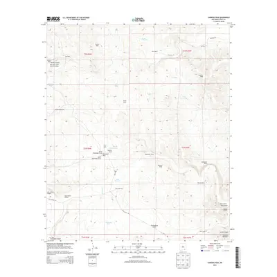
2013 Map of Carnero Peak
USGS Topo · Published 2013About this map
Truitt Ranch and McIver Ranch represent the enduring ranching character of this corner of Eddy County, where remote homesteads and vital water infrastructure define the high desert landscape. The map details a complex network of draws and canyons, including the significant Last Chance Canyon and Dark Canyon, which carve through the terrain near the foothills of the Guadalupe Mountains. The geography is marked by essential water sources for livestock, such as McIver North Tank, CCC Tank, and Smith Waterhole, illustrating the necessity of managed water in this arid environment. Significant natural landmarks like Carnero Peak and the sprawling Azotea Mesa provide vertical relief against the winding drainages of Kuykendall Draw and Opuntia Draw. This 2013 survey serves as a record of land use in a region where named rangelands like Kee Ranch and Gerry Smith Ranch have maintained their identity over decades.
Find a feature on this map
44 named features on this map. Tap any name to fly to it.
Don’t see what you’re looking for? This feature index may not catch every label — zoom into the map to look around manually.
Map Details
Editions of this 2013 Carnero Peak Map
This is the sole edition of this map. No revisions or reprints were ever made.
Other maps of this area

1940 · Bandanna Point
USGS Topo · 1:62,500

1940 · Carlsbad Caverns West
USGS Topo · 1:62,500

1943 · Carlsbad Caverns West
USGS Topo · 1:62,500

1943 · Bandanna Point
USGS Topo · 1:62,500

1943 · West Carlsbad
USGS Topo · 1:62,500

1945 · West Carlsbad
USGS Topo · 1:62,500

1945 · Carlsbad Caverns East
USGS Topo · 1:62,500

1947 · Carlsbad Caverns East
USGS Topo · 1:62,500

1954 · Carlsbad
USGS Topo · 1:250,000

1958 · Carlsbad
USGS Topo · 1:250,000