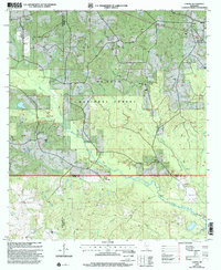
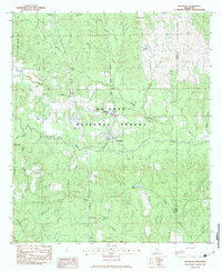
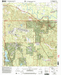
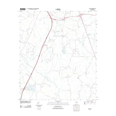
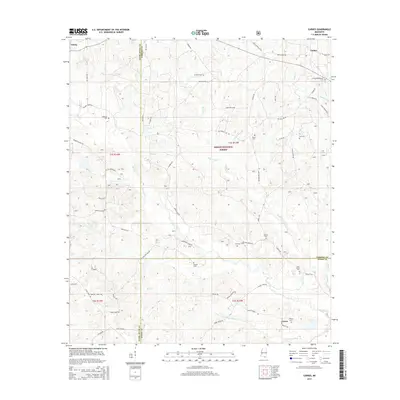
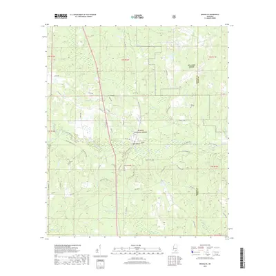
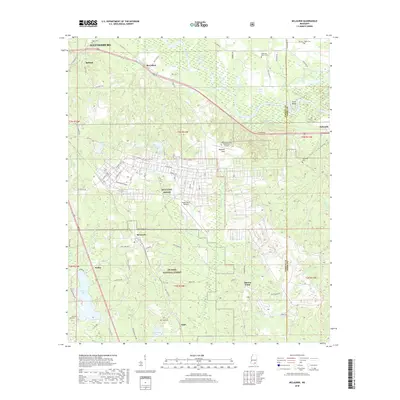
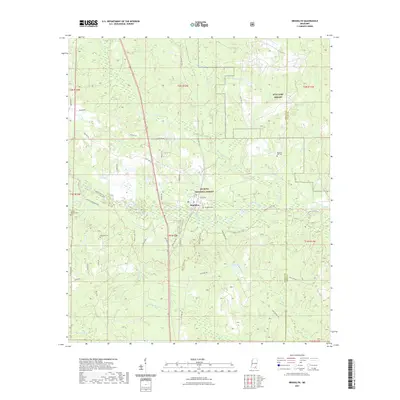
2000 Map of Carnes
USGS Topo · Published 2002About this map
De Soto National Forest dominates the landscape of this southern Mississippi survey, encompassing a complex network of gas production and local landmarks. The settlement of Carnes serves as a focal point near the northern border, while the topography is defined by the prominent Pistol Ridge and the winding course of Red Creek. The area is notably dense with family-named burial grounds and rural places of worship, including Old Sandhill Ch and the Eureka Cem, which offer significant value for genealogical research in Forrest and Stone counties.
Find a feature on this map
38 named features on this map. Tap any name to fly to it.
Don’t see what you’re looking for? This feature index may not catch every label — zoom into the map to look around manually.
Map Details
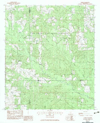
Editions of this 2000 Carnes Map
This is the sole edition of this map. No revisions or reprints were ever made.
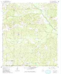
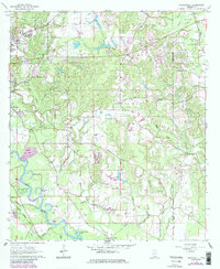
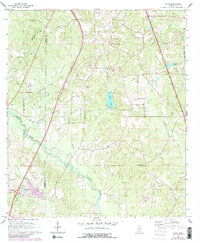
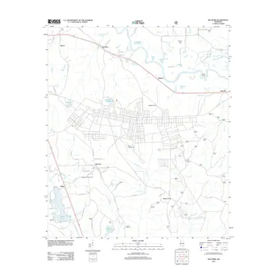
Historical Maps of Carnes Through Time
39 maps found
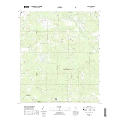
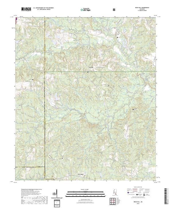
1963 Rock Hill
Forrest County, MS
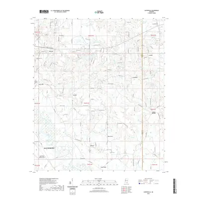
1964 Carterville
Forrest County, MS
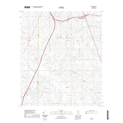
1965 Dixie
Forrest County, MS
1983 Brooklyn
Forrest County, MS
1983 Carnes
Forrest County, MS
1983 McLaurin
Forrest County, MS
2000 Brooklyn
Forrest County, MS
2000 Carnes
Forrest County, MS
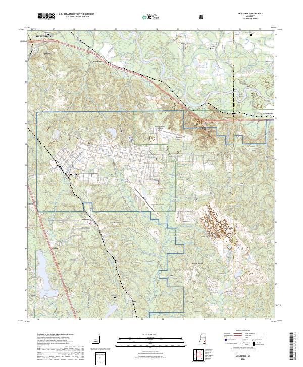
2000 McLaurin
Forrest County, MS
2012 Brooklyn
Forrest County, MS
2012 Carnes
Forrest County, MS
2012 Carterville
Forrest County, MS
2012 Dixie
Forrest County, MS
2012 McLaurin
Forrest County, MS
2012 Rock Hill
Forrest County, MS
2015 Brooklyn
Forrest County, MS
2015 Carnes
Forrest County, MS

2015 Carterville
Forrest County, MS
2015 Dixie
Forrest County, MS
2015 McLaurin
Forrest County, MS
2015 Rock Hill
Forrest County, MS
2018 Brooklyn
Forrest County, MS
2018 Carnes
Forrest County, MS
2018 Carterville
Forrest County, MS
2018 Dixie
Forrest County, MS
2018 McLaurin
Forrest County, MS
2018 Rock Hill
Forrest County, MS
2020 Carterville
Forrest County, MS
2020 Dixie
Forrest County, MS
2021 Brooklyn
Forrest County, MS
2021 Carnes
Forrest County, MS
2021 McLaurin
Forrest County, MS
2021 Rock Hill
Forrest County, MS
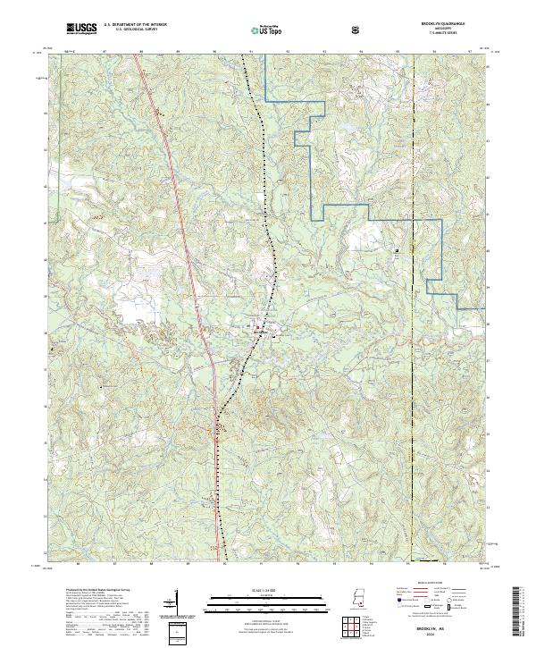
2024 Brooklyn
Forrest County, MS
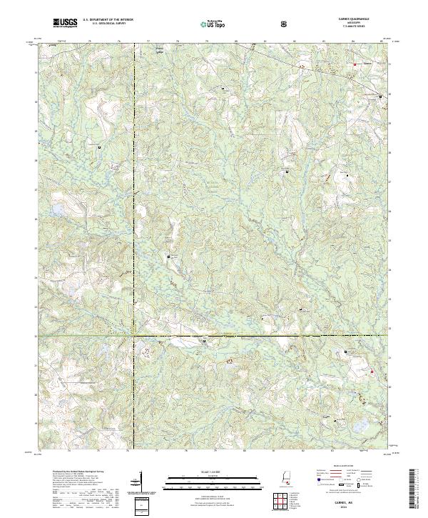
2024 Carnes
Forrest County, MS
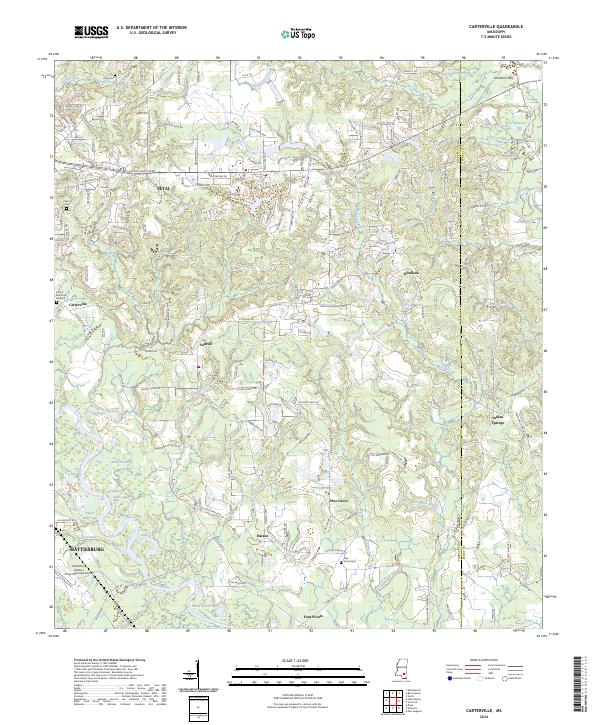
2024 Carterville
Forrest County, MS
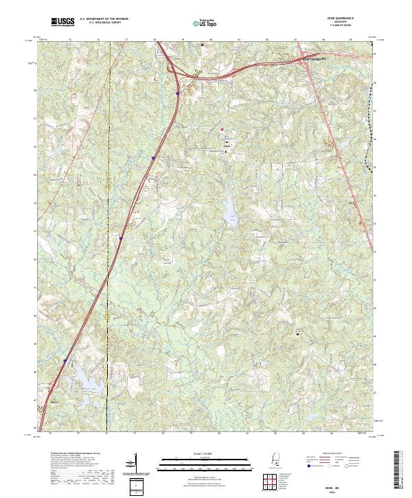
2024 Dixie
Forrest County, MS
2024 McLaurin
Forrest County, MS
2024 Rock Hill
Forrest County, MS