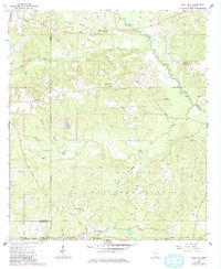
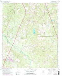
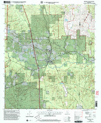
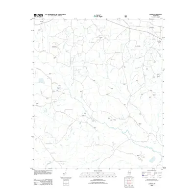
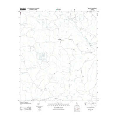
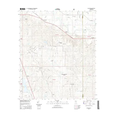
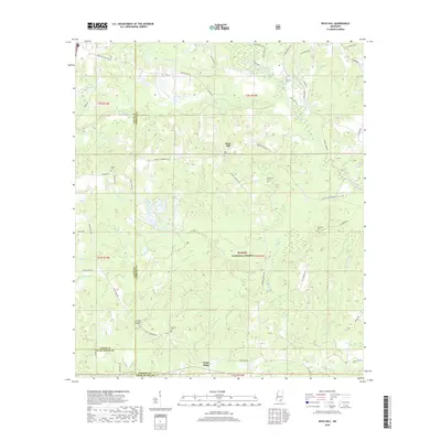
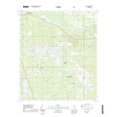
1963 Map of Rock Hill
USGS Topo · Published 1982About this map
De Soto National Forest dominates this landscape in southern Mississippi, characterized by a dense network of piney woods and creek bottoms. The terrain is marked by significant hydrological features, including the winding course of Black Creek and its many tributaries like Little Black Creek and Potato Creek. Settlement is sparse, focused around the community of Rock Hill, which sits near a prominent Rock Hill Lookout Tower.
Find a feature on this map
31 named features on this map. Tap any name to fly to it.
Don’t see what you’re looking for? This feature index may not catch every label — zoom into the map to look around manually.
Map Details
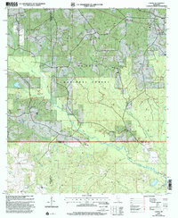
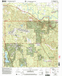
Editions of this 1963 Rock Hill Map
3 editions found
Historical Maps of Rock Hill Through Time
39 maps found
1963 Rock Hill
Forrest County, MS
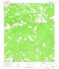
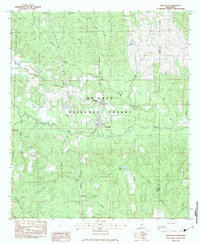
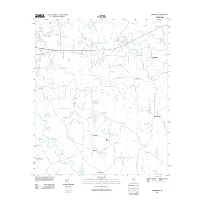
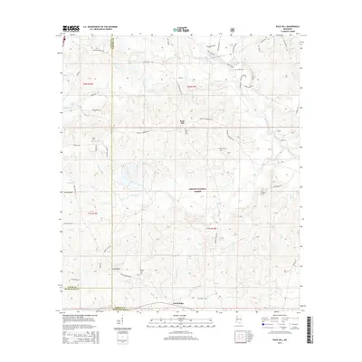
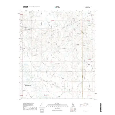
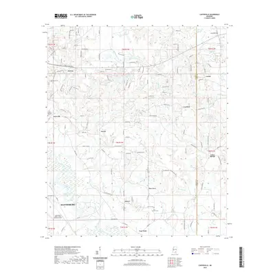
1964 Carterville
Forrest County, MS
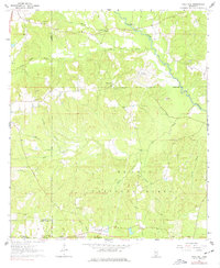
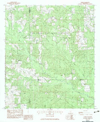
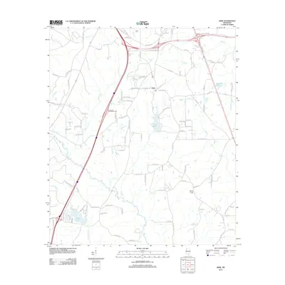
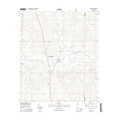
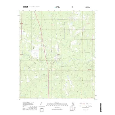
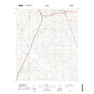
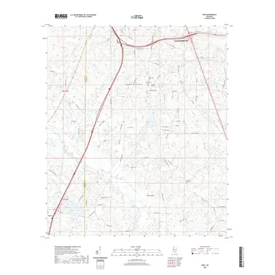
1965 Dixie
Forrest County, MS
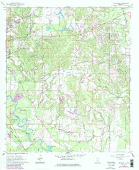
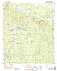
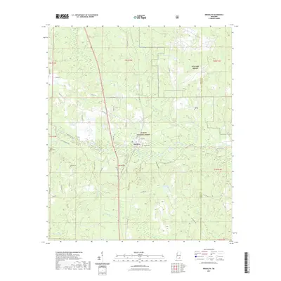
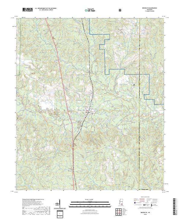
1983 Brooklyn
Forrest County, MS
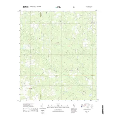
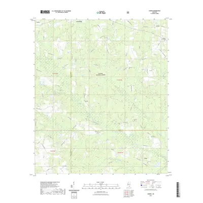
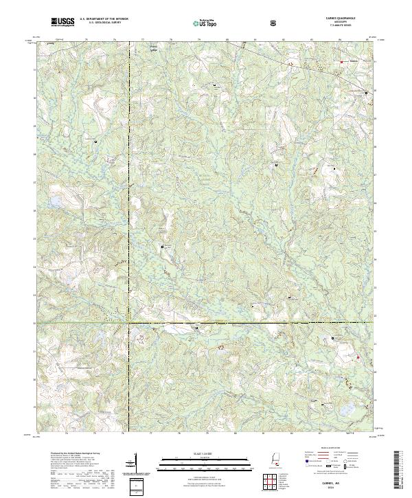
1983 Carnes
Forrest County, MS
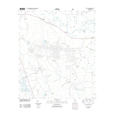
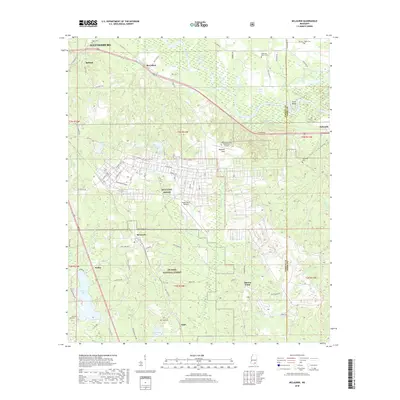
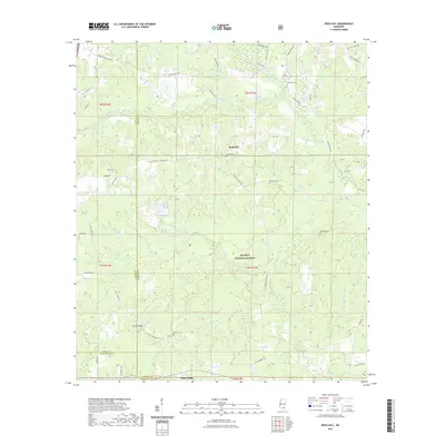
1983 McLaurin
Forrest County, MS
2000 Brooklyn
Forrest County, MS
2000 Carnes
Forrest County, MS
2000 McLaurin
Forrest County, MS
2012 Brooklyn
Forrest County, MS
2012 Carnes
Forrest County, MS
2012 Carterville
Forrest County, MS
2012 Dixie
Forrest County, MS
2012 McLaurin
Forrest County, MS
2012 Rock Hill
Forrest County, MS
2015 Brooklyn
Forrest County, MS
2015 Carnes
Forrest County, MS

2015 Carterville
Forrest County, MS
2015 Dixie
Forrest County, MS
2015 McLaurin
Forrest County, MS
2015 Rock Hill
Forrest County, MS
2018 Brooklyn
Forrest County, MS
2018 Carnes
Forrest County, MS
2018 Carterville
Forrest County, MS
2018 Dixie
Forrest County, MS
2018 McLaurin
Forrest County, MS
2018 Rock Hill
Forrest County, MS
2020 Carterville
Forrest County, MS
2020 Dixie
Forrest County, MS
2021 Brooklyn
Forrest County, MS
2021 Carnes
Forrest County, MS
2021 McLaurin
Forrest County, MS
2021 Rock Hill
Forrest County, MS
2024 Brooklyn
Forrest County, MS
2024 Carnes
Forrest County, MS
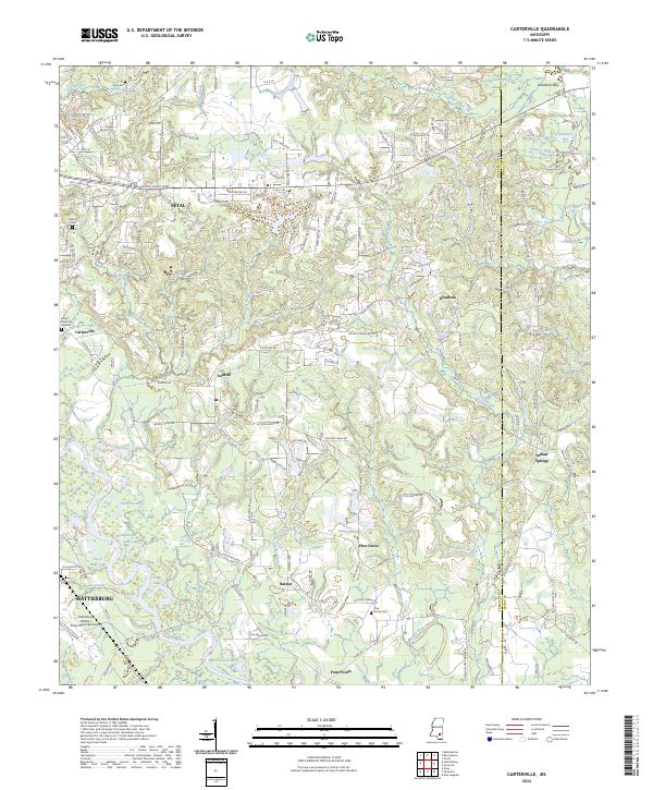
2024 Carterville
Forrest County, MS
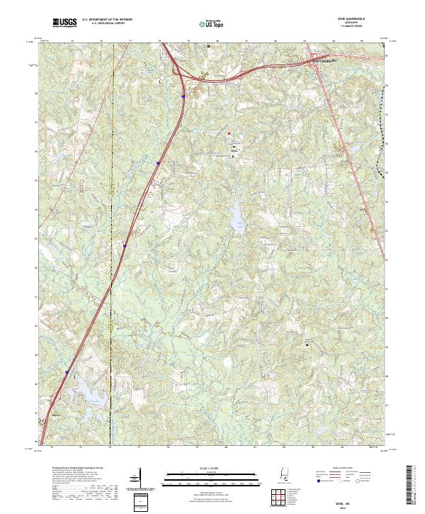
2024 Dixie
Forrest County, MS
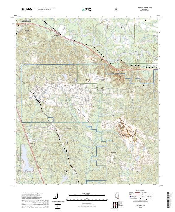
2024 McLaurin
Forrest County, MS
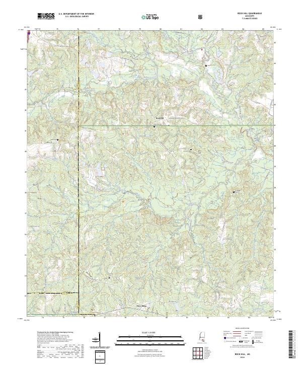
2024 Rock Hill
Forrest County, MS