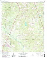
1965 Map of Dixie
USGS Topo · Published 1982About this map
Black Creek meanders across this landscape on the border of Lamar and Forrest Counties, anchoring a network of small tributaries such as Tan Trough Creek, Tom Creek, and Little Sweatmans Creek. The settlement of Dixie serves as a local focal point, situated near several significant landmarks for genealogists including Clark Cem and Whites Chapel. The industrial and transport character of the mid-1960s is evidenced by the Illinois Central Gulf railroad line and various Gravel Pits found north of the town center. Local recreation and water resources are highlighted by Elks Lake and Sumrall Lake, which sit amidst the undulating terrain of southern Mississippi. The presence of Radio Towers and a highway Rest Area indicates the modernization of the corridor during this era of survey.
Find a feature on this map
26 named features on this map. Tap any name to fly to it.
Don’t see what you’re looking for? This feature index may not catch every label — zoom into the map to look around manually.
Map Details
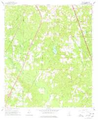
Editions of this 1965 Dixie Map
3 editions found

Other maps of this area

1947 · New Augusta
USGS Topo · 1:62,500

1949 · New Augusta
USGS Topo · 1:62,500

1953 · Hattiesburg
USGS Topo · 1:250,000

1958 · Hattiesburg
USGS Topo · 1:250,000

1963 · Rock Hill
USGS Topo · 1:24,000

1964 · Carterville
USGS Topo · 1:24,000

1964 · Purvis
USGS Topo · 1:24,000

1964 · Hattiesburg
USGS Topo · 1:24,000

1964 · Lumberton
USGS Topo · 1:24,000

1965 · Hattiesburg SW
USGS Topo · 1:24,000