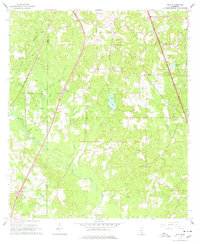
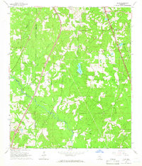
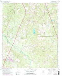
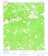
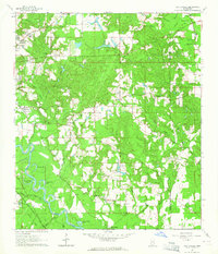
1965 Map of Dixie
USGS Topo · Published 1978About this map
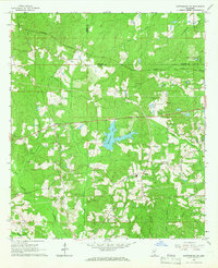
The small community of Dixie serves as the focal point of this mid-century landscape in Forrest County, situated between the winding courses of Black Creek and Watts Creek. Photographed in the early 1960s, the map reveals a rural economy shifting toward industrial extraction, evidenced by several Gravel Pits and a Gravel Pit located north of the town center. The Illinois Central Railroad cuts through the eastern portion of the quadrangle, passing near Selmiral Lake and mirroring the path of Braiden Creek. Local life is anchored by institutions like Whites Chapel, Mineral Springs Ch, and the Clark Cem, providing essential markers for genealogical research. The terrain is defined by a dense network of tributaries, including Trough Creek, Tan Creek, and Sweatmans Creek, which flow through the piney woods across the Lamar Co Forrest Co border.
Find a feature on this map
25 named features on this map. Tap any name to fly to it.
Don’t see what you’re looking for? This feature index may not catch every label — zoom into the map to look around manually.
Map Details
Editions of this 1965 Dixie Map
3 editions found
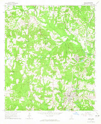
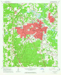
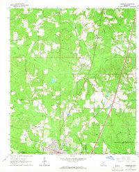
Other maps of this area

1947 · New Augusta
USGS Topo · 1:62,500

1949 · New Augusta
USGS Topo · 1:62,500

1953 · Hattiesburg
USGS Topo · 1:250,000

1958 · Hattiesburg
USGS Topo · 1:250,000
1963 · Rock Hill
USGS Topo · 1:24,000
1964 · Carterville
USGS Topo · 1:24,000
1964 · Purvis
USGS Topo · 1:24,000
1964 · Hattiesburg
USGS Topo · 1:24,000
1964 · Lumberton
USGS Topo · 1:24,000
1965 · Hattiesburg SW
USGS Topo · 1:24,000