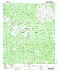
1983 Map of Brooklyn
USGS Topo · Published 1983About this map
Brooklyn sits as the central hub of this South Mississippi landscape, where the Illinois Central Gulf railroad parallels the winding course of Black Creek. The map documents a rural community deeply integrated with the De Soto National Forest, showing a network of small settlements like Rosine, Currie, and Dixie. The presence of the Forrest County Agricultural Sch near the center of the sheet highlights the region's historical focus on vocational education and land management.
Find a feature on this map
38 named features on this map. Tap any name to fly to it.
Don’t see what you’re looking for? This feature index may not catch every label — zoom into the map to look around manually.
Map Details
Editions of this 1983 Brooklyn Map
2 editions found
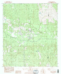
Other maps of this area

1947 · Wiggins
USGS Topo · 1:62,500

1947 · New Augusta
USGS Topo · 1:62,500

1949 · Wiggins
USGS Topo · 1:62,500

1949 · New Augusta
USGS Topo · 1:62,500

1953 · Hattiesburg
USGS Topo · 1:250,000

1953 · Mobile
USGS Topo · 1:250,000

1957 · Mobile
USGS Topo · 1:250,000

1958 · Hattiesburg
USGS Topo · 1:250,000

1958 · Carnes
USGS Topo · 1:62,500

1960 · Mobile
USGS Topo · 1:250,000