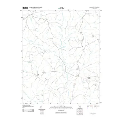
2011 Map of Carnesville
USGS Topo · Published 2011About this map
Carnesville and the therapeutic enclave of Franklin Springs serve as the primary hubs in this part of Georgia, where the headwaters of the Broad River system dominate the landscape. The geography is defined by the convergence of the North Fork Broad River and Middle Fork Broad River, creating a network of creek bottoms and ridges that have dictated local travel for generations. Family and community heritage is deeply rooted here, evidenced by numerous burial grounds such as Zidon Cemetery, James Cemetery, and Latner Cemetery. The map captures a moment when traditional agrarian patterns meet modern infrastructure, including the Franklin County Airport and recreational developments near Victoria Bryant Golf Course Rd. From the Liberty Lookout Tower to the crossing at Atkinson Bridge, the map provides an exacting look at the road networks and water features that shape this corner of Franklin County.
Find a feature on this map
83 named features on this map. Tap any name to fly to it.
Don’t see what you’re looking for? This feature index may not catch every label — zoom into the map to look around manually.
Map Details
Editions of this 2011 Carnesville Map
This is the sole edition of this map. No revisions or reprints were ever made.
Other maps of this area

1891 · Carnesville
USGS Topo · 1:125,000

1954 · Greenville
USGS Topo · 1:250,000

1958 · Greenville
USGS Topo · 1:250,000

1958 · Danielsville
USGS Topo · 1:62,500

1959 · Carnesville
USGS Topo · 1:24,000

1959 · Lavonia
USGS Topo · 1:24,000

1959 · Royston
USGS Topo · 1:24,000

1960 · Martin
USGS Topo · 1:24,000

1964 · Ila
USGS Topo · 1:24,000

1964 · Ashland
USGS Topo · 1:24,000