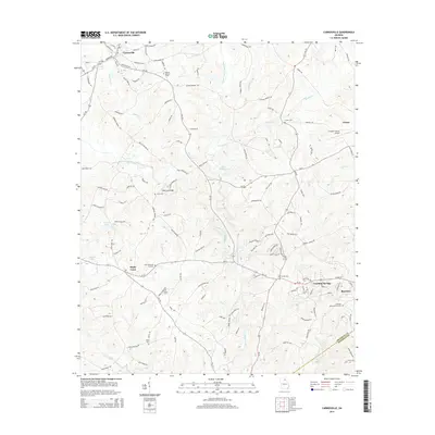
2014 Map of Carnesville
USGS Topo · Published 2014About this map
Royston and Franklin Springs anchor the southeast corner of this Franklin County landscape, where the confluence of the North Fork Broad River and Middle Fork Broad River forms the main Broad River. The area is defined by its agricultural and river-focused geography, with numerous small family cemeteries like Latner Cem and James Cem dotting the countryside between Sandy Cross and Canon. Transportation routes such as Us-29 and Ga-145 connect the rural communities to local landmarks including the Franklin County Airport and the Liberty Lookout Tower. Researchers can find evidence of deep-rooted local history in the distribution of these cemeteries and the preservation of small-scale water features like Starr Bridge Lake and Nails Creek, which have shaped the settlement patterns of the region for generations.
Find a feature on this map
34 named features on this map. Tap any name to fly to it.
Don’t see what you’re looking for? This feature index may not catch every label — zoom into the map to look around manually.
Map Details
Editions of this 2014 Carnesville Map
This is the sole edition of this map. No revisions or reprints were ever made.
Other maps of this area

1891 · Carnesville
USGS Topo · 1:125,000

1954 · Greenville
USGS Topo · 1:250,000

1958 · Greenville
USGS Topo · 1:250,000

1958 · Danielsville
USGS Topo · 1:62,500

1959 · Carnesville
USGS Topo · 1:24,000

1959 · Lavonia
USGS Topo · 1:24,000

1959 · Royston
USGS Topo · 1:24,000

1960 · Martin
USGS Topo · 1:24,000

1964 · Ila
USGS Topo · 1:24,000

1964 · Ashland
USGS Topo · 1:24,000