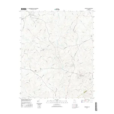
2017 Map of Carnesville
USGS Topo · Published 2017About this map
Franklin Springs and Carnesville anchor this Northeast Georgia landscape, where the confluence of several major river branches dictates the local geography. The Middle Fork Broad River and North Fork Broad River converge into the main Broad River channel, creating a complex network of waterways that have long influenced settlement patterns. The map documents the presence of Emmanuel Coll in the southeast, serving as a significant educational landmark for the region.
Find a feature on this map
124 named features on this map. Tap any name to fly to it.
Don’t see what you’re looking for? This feature index may not catch every label — zoom into the map to look around manually.
Map Details
Editions of this 2017 Carnesville Map
This is the sole edition of this map. No revisions or reprints were ever made.
Other maps of this area

1891 · Carnesville
USGS Topo · 1:125,000

1954 · Greenville
USGS Topo · 1:250,000

1958 · Greenville
USGS Topo · 1:250,000
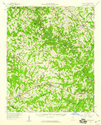
1958 · Danielsville
USGS Topo · 1:62,500
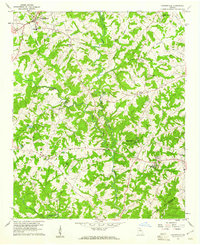
1959 · Carnesville
USGS Topo · 1:24,000
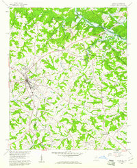
1959 · Lavonia
USGS Topo · 1:24,000
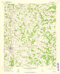
1959 · Royston
USGS Topo · 1:24,000
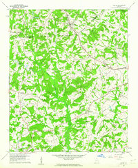
1960 · Martin
USGS Topo · 1:24,000
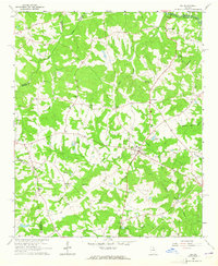
1964 · Ila
USGS Topo · 1:24,000
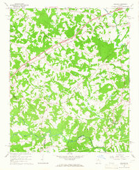
1964 · Ashland
USGS Topo · 1:24,000