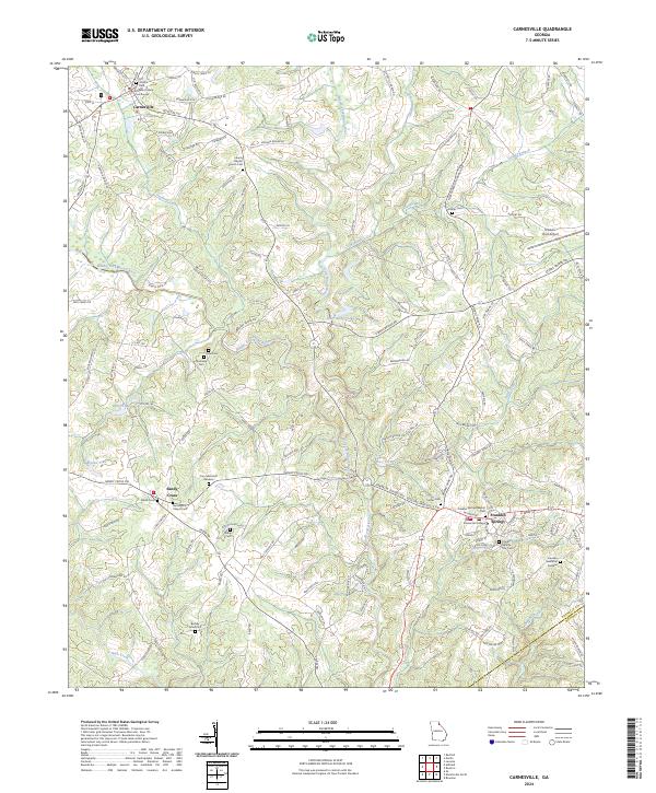
2024 Map of Carnesville
USGS Topo · Published 2024About this map
Franklin County Courthouse stands as the civic center of Carnesville, the county seat of Franklin County, while the academic grounds of Emmanuel College define the southern character of Franklin Springs. This modern-era topographic survey illustrates a landscape deeply connected to its river systems, with the Middle Fork Broad River and North Fork Broad River converging as they flow toward the Madison County line. These waterways are supplemented by smaller tributaries like Unawatti Creek and Nails Creek, which have historically dictated the placement of agricultural land and early roads.
Find a feature on this map
143 named features on this map. Tap any name to fly to it.
Don’t see what you’re looking for? This feature index may not catch every label — zoom into the map to look around manually.
Map Details
Editions of this 2024 Carnesville Map
This is the sole edition of this map. No revisions or reprints were ever made.
Other maps of this area

1891 · Carnesville
USGS Topo · 1:125,000

1954 · Greenville
USGS Topo · 1:250,000

1958 · Greenville
USGS Topo · 1:250,000

1958 · Danielsville
USGS Topo · 1:62,500

1959 · Carnesville
USGS Topo · 1:24,000

1959 · Lavonia
USGS Topo · 1:24,000

1959 · Royston
USGS Topo · 1:24,000

1960 · Martin
USGS Topo · 1:24,000

1964 · Ila
USGS Topo · 1:24,000

1964 · Ashland
USGS Topo · 1:24,000