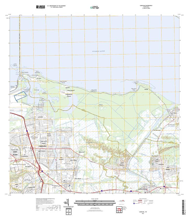
2024 Map of Carolina
USGS Topo · Published 2024About this map
Carolina and the surrounding coastline of the Atlantic Ocean define this modern topographic landscape, where dense urban development meets significant natural waterways and wetlands. The massive footprint of the Luis Muñoz Marín International Airport dominates the northwestern corner, situated near Punta Cangrejos and the Boca de Cangrejos. Further inland, the city's growth is reflected in residential neighborhoods like Villa Fontana, Valle Arriba Heights, and Sabana Gardens, while educational institutions such as the Universidad de Puerto Rico en Carolina anchor the southern districts.
Find a feature on this map
84 named features on this map. Tap any name to fly to it.
Don’t see what you’re looking for? This feature index may not catch every label — zoom into the map to look around manually.
Map Details
Editions of this 2024 Carolina Map
This is the sole edition of this map. No revisions or reprints were ever made.
Other maps of this area

1940 · Carolina
USGS Topo · 1:30,000

1941 · San Juan
USGS Topo · 1:30,000

1941 · Rio Grande
USGS Topo · 1:30,000

1941 · Carolina
USGS Topo · 1:30,000

1945 · El Yunque
USGS Topo · 1:30,000

1946 · El Yunque
USGS Topo · 1:30,000

1946 · Aguas Buenas
USGS Topo · 1:30,000

1946 · Gurabo
USGS Topo · 1:30,000

1947 · Carolina
USGS Topo · 1:30,000

1947 · Gurabo NE
USGS Topo · 1:10,000