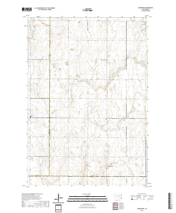
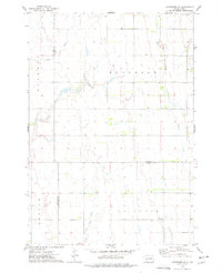
2021 Map of Carpenter
USGS Topo · Published 2021This historical map portrays the area of Carpenter in 2021, primarily covering Clark County as well as portions of Spink County and Beadle County. Featuring a scale of 1:24000, this map provides a highly detailed snapshot of the terrain, roads, buildings, counties, and historical landmarks in the Carpenter region at the time. Published in 2021, it is the sole known edition of this map.
Map Details
Editions of this 2021 Carpenter Map
This is the sole edition of this map. No revisions or reprints were ever made.
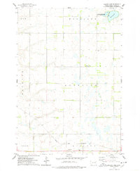
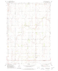
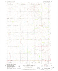
Historical Maps of Carpenter Through Time
26 maps found
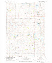
1973 Baileys Lake
Clark County, SD
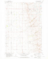
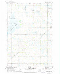
1973 Carpenter
Clark County, SD
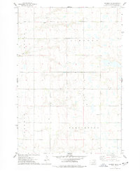
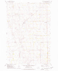
1973 Carpenter NE
Clark County, SD
1973 Carpenter SE
Clark County, SD
1973 Cherry Lake
Clark County, SD
1973 Clark North
Clark County, SD
1973 Clark South
Clark County, SD
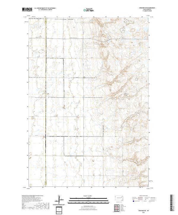
1973 Crocker SW
Clark County, SD
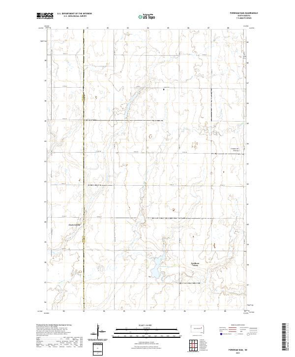
1973 Fordham Dam
Clark County, SD
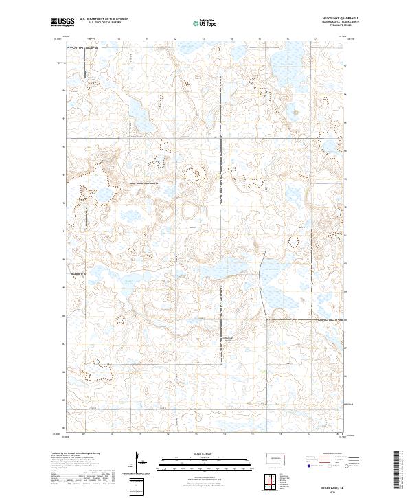
1973 Heggs Lake
Clark County, SD
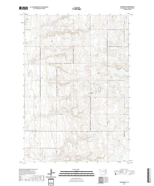
1973 Raymond SE
Clark County, SD
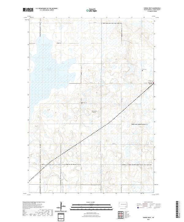
1973 Vienna West
Clark County, SD
1973 Willow Lake SW
Clark County, SD
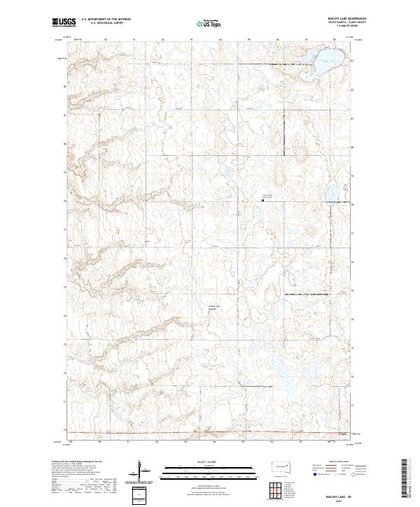
2021 Baileys Lake
Clark County, SD
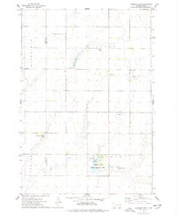
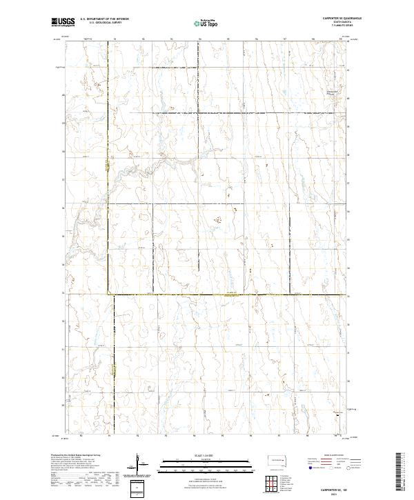
2021 Carpenter
Clark County, SD
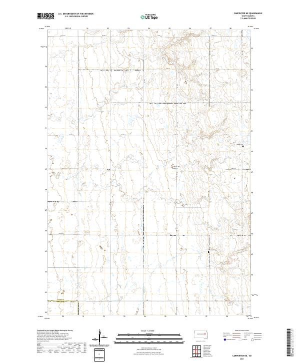
2021 Carpenter NE
Clark County, SD
2021 Carpenter SE
Clark County, SD
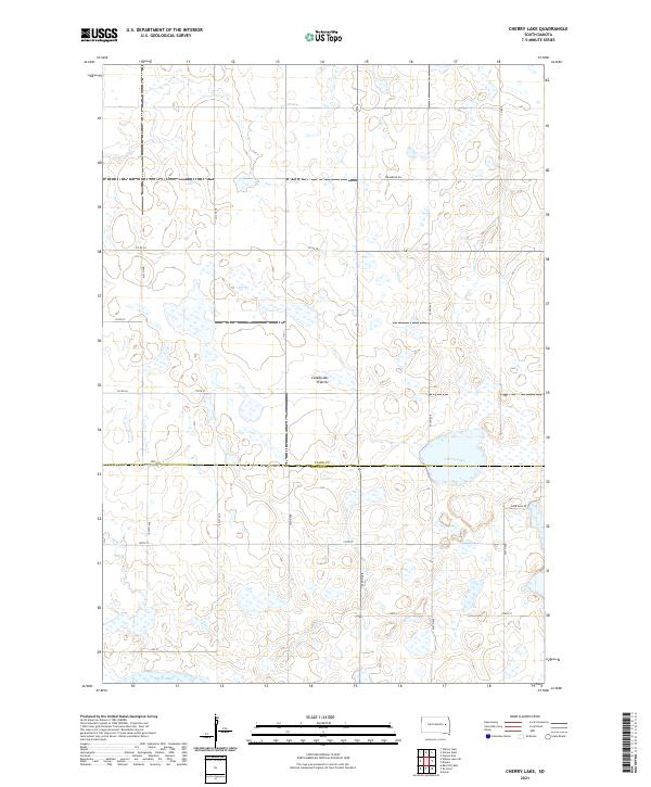
2021 Cherry Lake
Clark County, SD
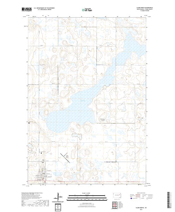
2021 Clark North
Clark County, SD
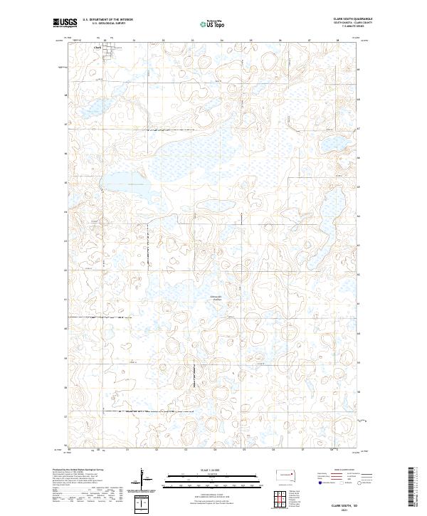
2021 Clark South
Clark County, SD
2021 Crocker SW
Clark County, SD
2021 Fordham Dam
Clark County, SD
2021 Heggs Lake
Clark County, SD
2021 Raymond SE
Clark County, SD
2021 Vienna West
Clark County, SD
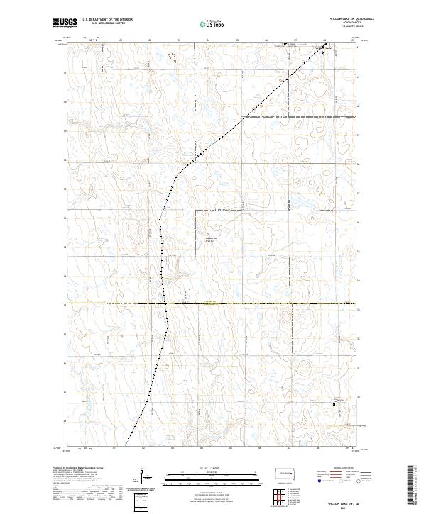
2021 Willow Lake SW
Clark County, SD