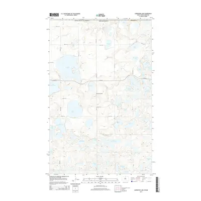
2014 Map of Carpenter Lake
USGS Topo · Published 2014About this map
The Turtle Mountains define this landscape along the international boundary where the United States-Canada border meets Rolette County. This high plateau, rising above the surrounding plains, is characterized by a dense concentration of glacial kettles and depressions. Large water bodies such as Carpenter Lake, Dion Lake, and Sucker Lake dominate the terrain, while smaller basins like Gravel Bottom Lake and Wendland Lake highlight the complex hydrology of the region.
Find a feature on this map
41 named features on this map. Tap any name to fly to it.
Don’t see what you’re looking for? This feature index may not catch every label — zoom into the map to look around manually.
Map Details
Editions of this 2014 Carpenter Lake Map
This is the sole edition of this map. No revisions or reprints were ever made.
Other maps of this area

1935 · Dunseith
USGS Topo · 1:48,000

1936 · Lake Upsilon
USGS Topo · 1:48,000

1939 · Dunseith
USGS Topo · 1:62,500

1942 · Lake Upsilon
USGS Topo · 1:62,500

1953 · Devils Lake
USGS Topo · 1:250,000

1954 · Minot
USGS Topo · 1:250,000

1955 · Dunseith
USGS Topo · 1:24,000

1955 · Lake Upsilon SW
USGS Topo · 1:24,000

1956 · Devils Lake
USGS Topo · 1:250,000

1958 · Minot
USGS Topo · 1:250,000