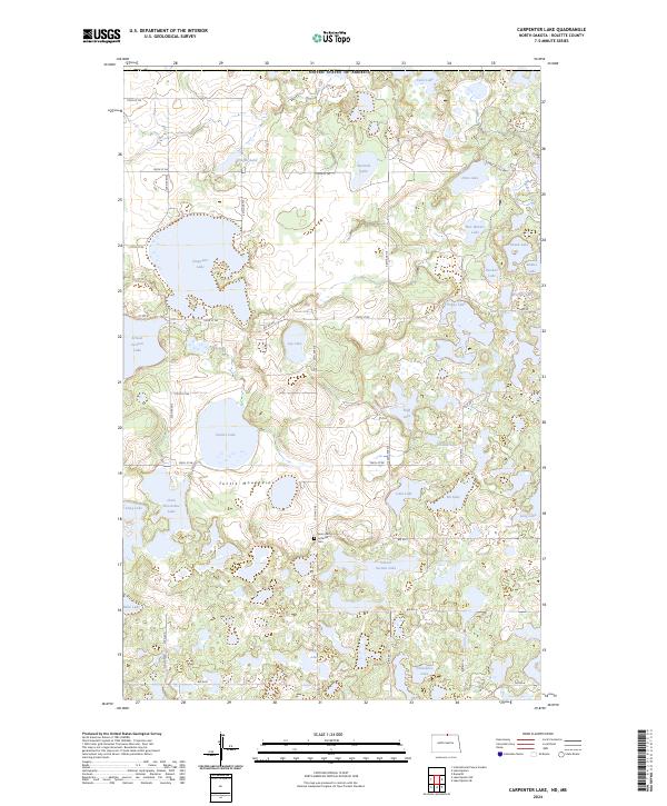
2024 Map of Carpenter Lake
USGS Topo · Published 2024About this map
The Turtle Mountains rise through this borderland landscape in Rolette County, defining a complex geography of glacial prairie potholes and significant conservation areas. The School Section Lake National Wildlife Refuge and the Rolette County Waterfowl Production Area protect these vital wetlands, which include large water bodies such as Carpenter Lake, Sucker Lake, and School Section Lake. The map reveals a transition between managed wildlife habitat and local history, anchored by the Saint John's Lutheran Cem near the center of the quadrangle.
Find a feature on this map
48 named features on this map. Tap any name to fly to it.
Don’t see what you’re looking for? This feature index may not catch every label — zoom into the map to look around manually.
Map Details
Editions of this 2024 Carpenter Lake Map
This is the sole edition of this map. No revisions or reprints were ever made.
Other maps of this area

1935 · Dunseith
USGS Topo · 1:48,000

1936 · Lake Upsilon
USGS Topo · 1:48,000

1939 · Dunseith
USGS Topo · 1:62,500

1942 · Lake Upsilon
USGS Topo · 1:62,500

1953 · Devils Lake
USGS Topo · 1:250,000

1954 · Minot
USGS Topo · 1:250,000

1955 · Dunseith
USGS Topo · 1:24,000

1955 · Lake Upsilon SW
USGS Topo · 1:24,000

1956 · Devils Lake
USGS Topo · 1:250,000

1958 · Minot
USGS Topo · 1:250,000