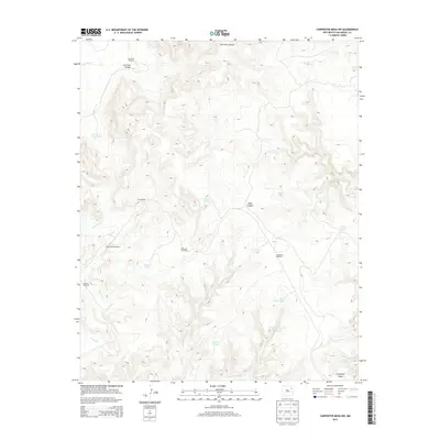
2013 Map of Carpenter Mesa NW
USGS Topo · Published 2013About this map
Water management dominates this arid landscape of San Miguel County, where a network of windmills and tanks supports livestock across high plateau country. Named landmarks like Cow Pass Windmill, Blanco Trap Windmill, and Doodlebug Windmill indicate specific points of development in a region otherwise defined by complex drainage systems. The terrain is deeply incised by canyons, most notably Cow Pass Canyon and Road Canyon, which channel seasonal flow into creeks like Watrous Cr and Saint Patrick Cr.
Find a feature on this map
25 named features on this map. Tap any name to fly to it.
Don’t see what you’re looking for? This feature index may not catch every label — zoom into the map to look around manually.
Map Details
Editions of this 2013 Carpenter Mesa NW Map
This is the sole edition of this map. No revisions or reprints were ever made.
Other maps of this area

1930 · Tucumcari
USGS Topo · 1:125,000

1954 · Santa Fe
USGS Topo · 1:250,000

1954 · Tucumcari
USGS Topo · 1:250,000

1958 · Santa Fe
USGS Topo · 1:250,000

1958 · Tucumcari
USGS Topo · 1:250,000

1967 · Trinchera Creek
USGS Topo · 1:24,000

1967 · Monument Point
USGS Topo · 1:24,000

1968 · La Cinta Mesa
USGS Topo · 1:24,000

1968 · Carpenter Mesa SW
USGS Topo · 1:24,000

1968 · Carpenter Mesa NW
USGS Topo · 1:24,000