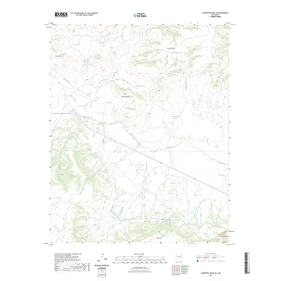
2023 Map of Carpenter Mesa SW
USGS Topo · Published 2023About this map
The Canadian River carves a deep path through this New Mexico landscape, marking a significant hydrologic corridor north of Mesa Rica. The terrain is defined by a series of prominent elevated plateaus, including Chical Mesa, Manhead Mesa, and Carpenter Mesa, which overlook the complex drainage systems of Watrous Creek and Saint Patrick Creek. This environment is shaped by both natural watercourses and human engineering, as evidenced by the Conchas Canal cutting through the southern portion of the sheet.
Find a feature on this map
20 named features on this map. Tap any name to fly to it.
Don’t see what you’re looking for? This feature index may not catch every label — zoom into the map to look around manually.
Map Details
Editions of this 2023 Carpenter Mesa SW Map
This is the sole edition of this map. No revisions or reprints were ever made.
Other maps of this area

1930 · Tucumcari
USGS Topo · 1:125,000

1954 · Santa Fe
USGS Topo · 1:250,000

1954 · Tucumcari
USGS Topo · 1:250,000

1958 · Santa Fe
USGS Topo · 1:250,000

1958 · Tucumcari
USGS Topo · 1:250,000

1964 · Muniz Canyon
USGS Topo · 1:24,000

1967 · Trinchera Creek
USGS Topo · 1:24,000

1967 · Monument Point
USGS Topo · 1:24,000

1967 · Liberty Mesa
USGS Topo · 1:24,000

1968 · La Cinta Mesa
USGS Topo · 1:24,000