
1967 Map of Liberty Mesa
USGS Topo · Published 1971About this map
Baca Location No 2 and the high plateaus of Liberty Mesa dominate this New Mexican landscape, where the high desert is carved by Dickie Canyon and Palarito Canyon. The map reveals a complex water management system essential to the region's ranching and development, featuring the Conchas Canal and several lateral branches including the Bell Lateral and Roberts Lateral. Along the southern corridor, the Chicago Rock Island and Pacific RR runs parallel to the highway, passing the small settlement at Hargis. Near the outskirts of the growing regional center, cultural markers like the Tucumcari Memorial Park (Cem), a Drive-in Theater, and the Tucumcari Metropolitan Park appear alongside the natural landmark of Blue Hole. Further west, the remote landscape is dotted with ranching features like the Leslie Windmill and Middle Pasture Tank.
Find a feature on this map
29 named features on this map. Tap any name to fly to it.
Don’t see what you’re looking for? This feature index may not catch every label — zoom into the map to look around manually.
Map Details
Editions of this 1967 Liberty Mesa Map
This is the sole edition of this map. No revisions or reprints were ever made.
Other maps of this area

1930 · Tucumcari
USGS Topo · 1:125,000

1954 · Tucumcari
USGS Topo · 1:250,000

1958 · Tucumcari
USGS Topo · 1:250,000

1967 · Trinchera Creek
USGS Topo · 1:24,000

1967 · Tucumcari
USGS Topo · 1:24,000
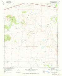
1968 · Quemado Hills
USGS Topo · 1:24,000

1968 · Bascom Camp
USGS Topo · 1:24,000

1968 · Bulldog Mesa
USGS Topo · 1:24,000

1968 · Carpenter Mesa SW
USGS Topo · 1:24,000
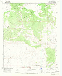
1968 · Cow Canyon
USGS Topo · 1:24,000