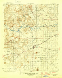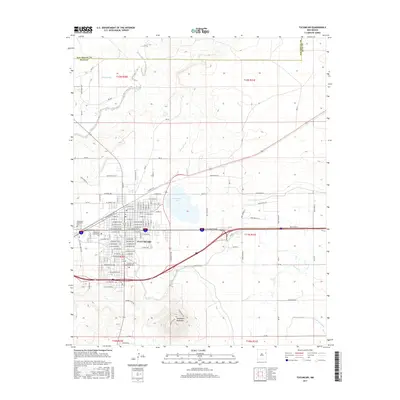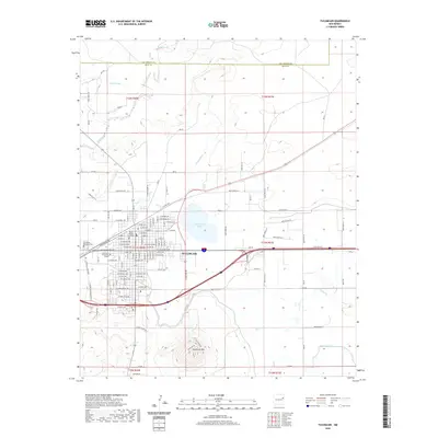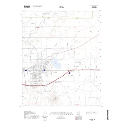
1967 Map of Tucumcari
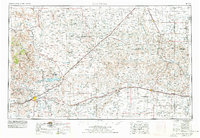
USGS Topo · Published 1971About this map
The high plains landscape of Quay County is anchored by Tucumcari, a hub of transportation and education in the late 1960s. The city's grid is dense with civic infrastructure, including Coronado Sch, Zia Sch, and Tucumcari Jr High Sch, alongside spiritual and recreational landmarks like St Anne Sch and Tucumcari Memorial Park. The influence of the Chicago Rock Island and Pacific Railroad is evident as it bisects the terrain, accompanied by an Old Railroad Grade that speaks to earlier transit routes.
Find a feature on this map
57 named features on this map. Tap any name to fly to it.
Don’t see what you’re looking for? This feature index may not catch every label — zoom into the map to look around manually.
Map Details
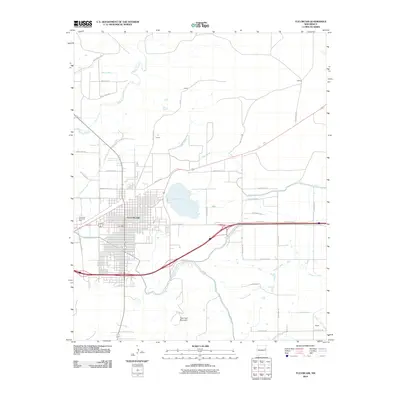
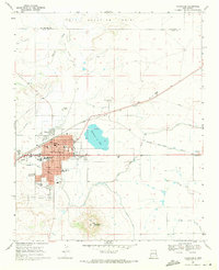
Editions of this 1967 Tucumcari Map
This is the sole edition of this map. No revisions or reprints were ever made.
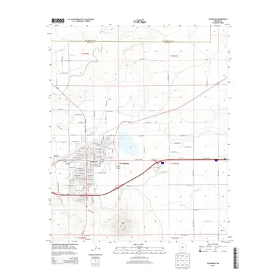
Historical Maps of Tucumcari Through Time
9 maps found