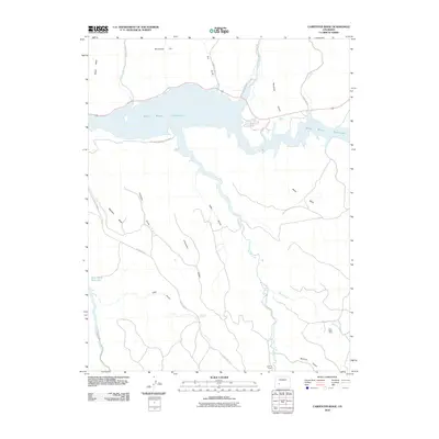
2010 Map of Carpenter Ridge
USGS Topo · Published 2010About this map
Blue Mesa Reservoir dominates the northern landscape of this Gunnison County region, its fingers reaching into deep canyons carved by Cebolla Creek and Lake Fork. The area is part of the Curecanti National Rec Area, where the high plateau terrain of Sapinero Mesa and Carpenter Ridge drops sharply into a network of drainage systems like Fourmile Gulch and Wildcat Gulch.
Find a feature on this map
28 named features on this map. Tap any name to fly to it.
Don’t see what you’re looking for? This feature index may not catch every label — zoom into the map to look around manually.
Map Details
Editions of this 2010 Carpenter Ridge Map
This is the sole edition of this map. No revisions or reprints were ever made.
Other maps of this area

1908 · Uncompahgre
USGS Topo · 1:125,000

1911 · Uncompahgre
USGS Topo · 1:125,000

1954 · Iola
USGS Topo · 1:24,000

1954 · Mc Intosh Mountain
USGS Topo · 1:24,000

1954 · West Elk Peak SW
USGS Topo · 1:24,000

1954 · Little Soap Park
USGS Topo · 1:24,000

1954 · Cebolla
USGS Topo · 1:24,000

1954 · Sapinero
USGS Topo · 1:24,000

1954 · Gateview
USGS Topo · 1:24,000

1956 · Montrose
USGS Topo · 1:250,000