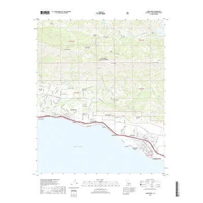
2018 Map of Carpinteria
USGS Topo · Published 2018About this map
The Santa Ynez Mountains descend sharply toward the Pacific shoreline, creating a narrow coastal corridor defined by residential growth and technical infrastructure. The city of Carpinteria anchors the southeastern coast, bordered by the wetlands of El Estero and the high-density coastal enclaves of Sandyland Cove and Serena Park. Further west, the community of Summerland sits on the slopes of Ortega Hill, overlooking Fernald Point.
Find a feature on this map
113 named features on this map. Tap any name to fly to it.
Don’t see what you’re looking for? This feature index may not catch every label — zoom into the map to look around manually.
Map Details
Editions of this 2018 Carpinteria Map
This is the sole edition of this map. No revisions or reprints were ever made.
Other maps of this area

1902 · Santa Ynez
USGS Topo · 1:125,000

1903 · Mt. Pinos
USGS Topo · 1:125,000

1904 · Ventura
USGS Topo · 1:62,500

1905 · Santa Ynez
USGS Topo · 1:125,000

1941 · Ventura
USGS Topo · 1:62,500

1942 · Little Pine Mountain
USGS Topo · 1:24,000

1943 · Old Man Mountain
USGS Topo · 1:24,000

1943 · Hildreth Peak
USGS Topo · 1:24,000

1944 · Santa Barbara
USGS Topo · 1:31,680
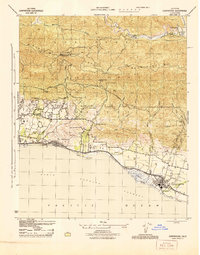
1944 · Carpinteria
USGS Topo · 1:31,680