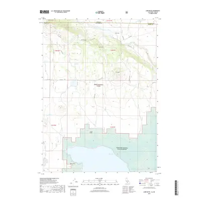
2018 Map of Carr Butte
USGS Topo · Published 2018About this map
The High Desert borderlands where Oregon meets California are defined here by a complex hydraulic landscape of natural flows and managed irrigation. The Lost River meanders through the northern section, joined by the E Br Lost River and regulated by features such as the Lost River Tie. In the south, the massive Clear Lake Reservoir dominates the terrain, protected within the Clear Lake National Wildlife Refuge. This area serves as a critical junction for water management and wildlife preservation across the state line.
Find a feature on this map
26 named features on this map. Tap any name to fly to it.
Don’t see what you’re looking for? This feature index may not catch every label — zoom into the map to look around manually.
Map Details
Editions of this 2018 Carr Butte Map
This is the sole edition of this map. No revisions or reprints were ever made.
Other maps of this area

1886 · Modoc Lava Bed
USGS Topo · 1:250,000

1889 · Klamath
USGS Topo · 1:250,000

1892 · Modoc Lava-Bed
USGS Topo · 1:250,000

1894 · Klamath
USGS Topo · 1:250,000

1951 · Clear Lake Reservoir
USGS Topo · 1:62,500

1951 · Tulelake
USGS Topo · 1:62,500

1954 · Alturas
USGS Topo · 1:250,000

1955 · Klamath Falls
USGS Topo · 1:250,000

1957 · Malin
USGS Topo · 1:62,500

1958 · Alturas
USGS Topo · 1:250,000