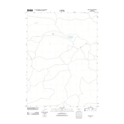
2011 Map of Carr Lake
USGS Topo · Published 2011About this map
Carr Ranch and the R Carr Ranch sit in the sparsely populated Sandhills of Nebraska, representing the enduring presence of family-run ranching operations in this corner of the state. The landscape is defined by its subtle drainage patterns and seasonal water bodies, most notably the namesake Carr Lake and the pastoral stretch of Cherry Valley. This 2011 survey captures the network of unpaved and local access roads, such as Cherry Valley Rd, S Whitman Rd, and Flats Ln, which connect these remote holdings. The map illustrates a high-plains environment where human development is concentrated around these specific ranching sites, maintaining a pattern of settlement that has changed little over the decades. It provides a detailed record of local topography and water features that are essential to the region's agricultural life.
Find a feature on this map
7 named features on this map. Tap any name to fly to it.
Don’t see what you’re looking for? This feature index may not catch every label — zoom into the map to look around manually.
Map Details
Editions of this 2011 Carr Lake Map
This is the sole edition of this map. No revisions or reprints were ever made.
Other maps of this area

1948 · Carr Lake
USGS Topo · 1:62,500

1948 · Whitman
USGS Topo · 1:62,500

1948 · Spring Valley
USGS Topo · 1:62,500

1950 · Spring Valley
USGS Topo · 1:62,500

1950 · Whitman
USGS Topo · 1:62,500

1950 · Carr Lake
USGS Topo · 1:62,500

1950 · Hire
USGS Topo · 1:62,500

1954 · North Platte
USGS Topo · 1:250,000

1956 · North Platte
USGS Topo · 1:250,000

1957 · North Platte
USGS Topo · 1:250,000