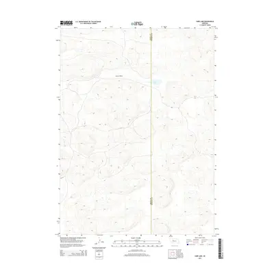
2014 Map of Carr Lake
USGS Topo · Published 2014About this map
Cherry Valley defines this portion of the Nebraska Sandhills, where the topography is shaped by the complex dune formations characteristic of the region. The map captures a landscape defined by natural depression and elevation, most notably centered on the waters of Carr Lake. This 2014 survey documents the boundary between Grant and Hooker Counties, illustrating a terrain where human infrastructure is sparse. Only essential corridors like Flats Ln navigate the undulating landscape, reflecting the remote ranching character of the area. Researchers can observe the natural hydrology of the basin, where small bodies of water and valleys provided critical landmarks and resources in a region primarily dedicated to pastoral use.
Find a feature on this map
4 named features on this map. Tap any name to fly to it.
Don’t see what you’re looking for? This feature index may not catch every label — zoom into the map to look around manually.
Map Details
Editions of this 2014 Carr Lake Map
This is the sole edition of this map. No revisions or reprints were ever made.
Other maps of this area

1948 · Carr Lake
USGS Topo · 1:62,500

1948 · Whitman
USGS Topo · 1:62,500

1948 · Spring Valley
USGS Topo · 1:62,500

1950 · Spring Valley
USGS Topo · 1:62,500

1950 · Whitman
USGS Topo · 1:62,500

1950 · Carr Lake
USGS Topo · 1:62,500

1950 · Hire
USGS Topo · 1:62,500

1954 · North Platte
USGS Topo · 1:250,000

1956 · North Platte
USGS Topo · 1:250,000

1957 · North Platte
USGS Topo · 1:250,000