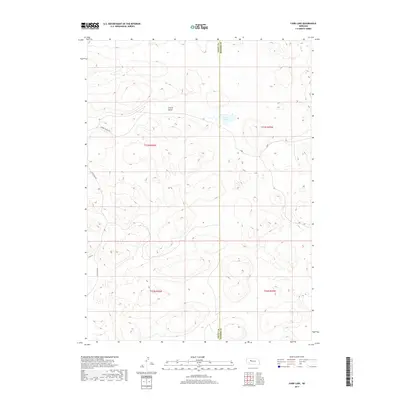
2017 Map of Carr Lake
USGS Topo · Published 2017About this map
Cherry Valley and Carr Lake dominate this sparsely settled portion of the Nebraska Sandhills, located along the border of Grant and Hooker counties. The landscape is defined by its internal drainage and low-lying basins, a characteristic of this unique prairie environment. Local movement is facilitated by a handful of established routes, including Cherry Valley Rd and S Whitman Rd, which skirt the edges of the undulating terrain. This 2017 survey reflects the enduring cattle-ranching character of the region, where naming conventions like Flats Ln describe the breaks in the hills that allow for transit and grazing operations in this remote part of the state.
Find a feature on this map
11 named features on this map. Tap any name to fly to it.
Don’t see what you’re looking for? This feature index may not catch every label — zoom into the map to look around manually.
Map Details
Editions of this 2017 Carr Lake Map
This is the sole edition of this map. No revisions or reprints were ever made.
Other maps of this area

1948 · Carr Lake
USGS Topo · 1:62,500

1948 · Whitman
USGS Topo · 1:62,500

1948 · Spring Valley
USGS Topo · 1:62,500

1950 · Spring Valley
USGS Topo · 1:62,500

1950 · Whitman
USGS Topo · 1:62,500

1950 · Carr Lake
USGS Topo · 1:62,500

1950 · Hire
USGS Topo · 1:62,500

1954 · North Platte
USGS Topo · 1:250,000

1956 · North Platte
USGS Topo · 1:250,000

1957 · North Platte
USGS Topo · 1:250,000