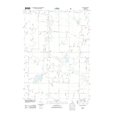
2012 Map of Carr
USGS Topo · Published 2012About this map
The Big S Br Pere Marquette River meanders through this landscape, defining a terrain of creeks and small glacial lakes. Long-standing local history is preserved at the Carr Settlement Cem in the northeast and Colfax Cem near the southern edge. The distribution of these burial grounds and the McCumber Cem reflects the early settlement patterns of Troy Township, where farmsteads were established along roads like Anthony Rd and Hawley Rd.
Find a feature on this map
71 named features on this map. Tap any name to fly to it.
Don’t see what you’re looking for? This feature index may not catch every label — zoom into the map to look around manually.
Map Details
Editions of this 2012 Carr Map
This is the sole edition of this map. No revisions or reprints were ever made.
Other maps of this area

1931 · Custer NW
USGS Topo · 1:31,680

1931 · Baldwin NW
USGS Topo · 1:31,680

1931 · Custer SW
USGS Topo · 1:31,680

1931 · Custer NE
USGS Topo · 1:31,680

1931 · Walkerville NE
USGS Topo · 1:31,680

1931 · Walkerville NW
USGS Topo · 1:31,680

1931 · Custer SE
USGS Topo · 1:31,680

1954 · Milwaukee
USGS Topo · 1:250,000

1954 · Midland
USGS Topo · 1:250,000

1958 · Midland
USGS Topo · 1:250,000