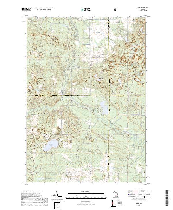
2023 Map of Carr
USGS Topo · Published 2023About this map
The Big South Branch Pere Marquette River winds through the heart of this rural landscape, which is situated at the meeting point of Mason, Lake, Oceana, and Newaygo counties. This recent survey shows a region deeply intertwined with the Manistee National Forest, where small water bodies like Augustine Lake and Tuckett Lake are scattered among the woodland. For genealogists, the map identifies several significant local landmarks, including St Gregory's Catholic Ch and its associated St Gregory's Catholic Cem near the northern boundary. Centrally located burial grounds such as McCumber Cem and Colfax Cem further document the area's established history. The drainage network is complex, featuring Carr Creek, Ruby Creek, and Woody Creek, all feeding into the larger river system that defines the local geography. Significant clearings and family-named springs like Gillen Springs break the forested cover, while School Section Lake stands as a prominent natural feature in the southwest.
Find a feature on this map
45 named features on this map. Tap any name to fly to it.
Don’t see what you’re looking for? This feature index may not catch every label — zoom into the map to look around manually.
Map Details
Editions of this 2023 Carr Map
This is the sole edition of this map. No revisions or reprints were ever made.
Other maps of this area

1931 · Custer NW
USGS Topo · 1:31,680

1931 · Baldwin NW
USGS Topo · 1:31,680

1931 · Custer SW
USGS Topo · 1:31,680

1931 · Custer NE
USGS Topo · 1:31,680

1931 · Walkerville NE
USGS Topo · 1:31,680

1931 · Walkerville NW
USGS Topo · 1:31,680

1931 · Custer SE
USGS Topo · 1:31,680

1954 · Milwaukee
USGS Topo · 1:250,000

1954 · Midland
USGS Topo · 1:250,000

1958 · Midland
USGS Topo · 1:250,000