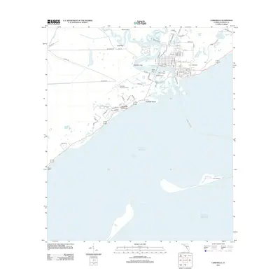
2012 Map of Carrabelle
USGS Topo · Published 2012About this map
Carrabelle stands at the convergence of the Carrabelle River and the Gulf of Mexico in this 2012 topographic record. The town's maritime character is defined by the Carrabelle Harbor and the Carrabelle River, which separate the mainland from Timber Island and Davis Island. This edition highlights the coastal infrastructure including the Tillie Miller Bridge and the Carrabelle-Thompson Airport. Further west along the coast, the Carrabelle Beach area is punctuated by the historic Crooked River Lighthouse and the Carrabelle Lighthouse.
Find a feature on this map
80 named features on this map. Tap any name to fly to it.
Don’t see what you’re looking for? This feature index may not catch every label — zoom into the map to look around manually.
Map Details
Editions of this 2012 Carrabelle Map
This is the sole edition of this map. No revisions or reprints were ever made.
Other maps of this area

1943 · Dog Island
USGS Topo · 1:31,680

1943 · Carrabelle
USGS Topo · 1:24,000

1944 · Pickett Bay
USGS Topo · 1:31,680

1944 · Carrabelle
USGS Topo · 1:31,680

1944 · Green Point
USGS Topo · 1:31,680

1944 · Sugar Hill
USGS Topo · 1:31,680

1945 · Tates Hell Swamp
USGS Topo · 1:31,680

1945 · Mc Intyre
USGS Topo · 1:31,680

1945 · Sugar Hill
USGS Topo · 1:31,680

1945 · Pickett Bay
USGS Topo · 1:31,680