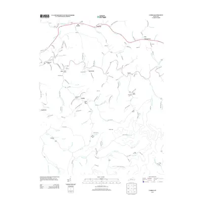
2013 Map of Carrie
USGS Topo · Published 2013About this map
Troublesome Cr and its many winding tributaries define this portion of the Kentucky coalfields in the early 21st century. The landscape is marked by numerous hollows and gaps, such as Meadowbrook Hollow, Rough Hollow, and Bee Tree Gap, which have dictated the placement of small communities and family homesteads for generations. Settlement patterns follow the narrow valley floors, with towns like Bearville, Fisty, and Carrie connected by a network of winding roads including Starfire Haul Rd. Genealogists will find a wealth of family history in the scattered burial grounds, including the Adam Terry Cem, Fuller Cem, and Owen Cem. The presence of Camp Nathaniel near Emmalena reflects the area's local institutional history, while the proximity of Hardburly and Ritchie highlights the deep-rooted mining and residential character of these mountain hollows.
Find a feature on this map
157 named features on this map. Tap any name to fly to it.
Don’t see what you’re looking for? This feature index may not catch every label — zoom into the map to look around manually.
Map Details
Editions of this 2013 Carrie Map
This is the sole edition of this map. No revisions or reprints were ever made.
Other maps of this area

1890 · Whitesburg
USGS Topo · 1:125,000

1891 · Hazard
USGS Topo · 1:125,000

1892 · Whitesburg
USGS Topo · 1:125,000

1912 · Hindman
USGS Topo · 1:48,000

1913 · Oven Fork
USGS Topo · 1:48,000

1914 · Troublesome
USGS Topo · 1:62,500

1915 · Hindman
USGS Topo · 1:62,500

1915 · Whitesburg
USGS Topo · 1:62,500

1916 · Cornettsville
USGS Topo · 1:62,500

1954 · Noble
USGS Topo · 1:24,000