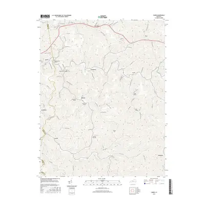
2016 Map of Carrie
USGS Topo · Published 2016About this map
Hardburly and the surrounding Knott County landscape define this portion of the Cumberland Plateau, where narrow valleys dictate the pattern of settlement and transit. The map traces a complex network of hollows and gaps, including Ash Bee Tree Gap and Poplar Gap, which historically served as vital passage points through the steep terrain. Small communities like Emmalena, Fisty, and Ritchie are situated along the winding roads that follow creek beds such as Walkers Branch Rd and Clear Fork Rd. The geography here is marked by deep incisions like Meadowbrook Hollow and Lowerfield Hollow, illustrating the intricate drainage system of the Kentucky coalfields. These labels provide a high level of detail for local researchers tracking the specific topography and named landmarks of the region as they stood in the mid-2010s.
Find a feature on this map
72 named features on this map. Tap any name to fly to it.
Don’t see what you’re looking for? This feature index may not catch every label — zoom into the map to look around manually.
Map Details
Editions of this 2016 Carrie Map
This is the sole edition of this map. No revisions or reprints were ever made.
Other maps of this area

1890 · Whitesburg
USGS Topo · 1:125,000

1891 · Hazard
USGS Topo · 1:125,000

1892 · Whitesburg
USGS Topo · 1:125,000

1912 · Hindman
USGS Topo · 1:48,000

1913 · Oven Fork
USGS Topo · 1:48,000

1914 · Troublesome
USGS Topo · 1:62,500

1915 · Hindman
USGS Topo · 1:62,500

1915 · Whitesburg
USGS Topo · 1:62,500

1916 · Cornettsville
USGS Topo · 1:62,500

1954 · Noble
USGS Topo · 1:24,000