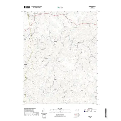
2019 Map of Carrie
USGS Topo · Published 2019About this map
Troublesome Creek and its many winding tributaries define this portion of the Cumberland Plateau in Knott and Perry counties. This 2019 survey captures the modern landscape of Eastern Kentucky, where small communities like Emmalena, Carrie, and Ritchie are linked by narrow roads following the creek bottoms and hollows. The map illustrates a high density of family cemeteries, such as Adam Terry Cem and Combs Cem, which are often located on the higher ground overlooking the valley settlements. Terrain markers like Ash Bee Tree Gap and Poplar Gap provide essential navigation points across the ridgelines. The transition from industrial corridors like Starfire Haul Rd to the more traditional rural settlements of Cordia and Amburgey reflects the complex land use of the region, where resource extraction and local genealogy are deeply intertwined.
Find a feature on this map
112 named features on this map. Tap any name to fly to it.
Don’t see what you’re looking for? This feature index may not catch every label — zoom into the map to look around manually.
Map Details
Editions of this 2019 Carrie Map
This is the sole edition of this map. No revisions or reprints were ever made.
Other maps of this area

1890 · Whitesburg
USGS Topo · 1:125,000

1891 · Hazard
USGS Topo · 1:125,000

1892 · Whitesburg
USGS Topo · 1:125,000

1912 · Hindman
USGS Topo · 1:48,000

1913 · Oven Fork
USGS Topo · 1:48,000

1914 · Troublesome
USGS Topo · 1:62,500

1915 · Hindman
USGS Topo · 1:62,500

1915 · Whitesburg
USGS Topo · 1:62,500

1916 · Cornettsville
USGS Topo · 1:62,500

1954 · Noble
USGS Topo · 1:24,000