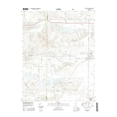
2015 Map of Carrier Mills
USGS Topo · Published 2015About this map
Carrier Mills serves as the primary population center in this 2015 study of the Saline County landscape, where the town’s street grid meets the industrial infrastructure of the region. The map reflects a legacy of surface mining and resource extraction, with features like Pit 12 Rd and various ponds such as Cottonwood Pond and Open Pond indicating a heavily modified terrain. These water bodies, along with the Bankston Fork and South Fork Saline River, shape the rural character between small settlements like Delta and Dykersburg.
Find a feature on this map
74 named features on this map. Tap any name to fly to it.
Don’t see what you’re looking for? This feature index may not catch every label — zoom into the map to look around manually.
Map Details
Editions of this 2015 Carrier Mills Map
This is the sole edition of this map. No revisions or reprints were ever made.
Other maps of this area

1908 · Galatia
USGS Topo · 1:62,500

1909 · West Frankfort
USGS Topo · 1:62,500

1925 · Marion
USGS Topo · 1:62,500

1925 · Harrisburg
USGS Topo · 1:62,500

1938 · Galatia
USGS Topo · 1:62,500

1939 · Harrisburg
USGS Topo · 1:62,500

1940 · Marion
USGS Topo · 1:62,500

1941 · West Frankfort
USGS Topo · 1:62,500

1949 · Paducah
USGS Topo · 1:250,000

1950 · Paducah
USGS Topo · 1:250,000