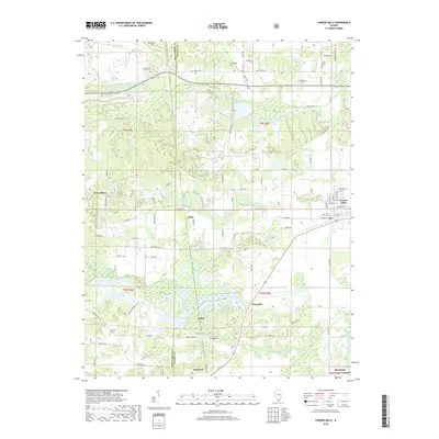
2018 Map of Carrier Mills
USGS Topo · Published 2018About this map
Carrier Mills anchors the northeast corner of this terrain where the Williamson and Saline county line divides a landscape shaped by water and industry. The South Fork Saline River and its tributaries, including Pond Creek and the Little Saline River, weave through the southern half of the quadrangle, reaching into the northern edge of the Shawnee National Forest. This 2018 survey reveals a network of rural settlements like Stonefort, Dykersburg, and Newcastle, connected by a complex system of local routes such as Old Delta Mine Rd and Miles Trl. For the family historian, the map identifies numerous burial sites including Jenny Ridge Cem and the Trout Family Cem. The landscape is further defined by several prominent water bodies such as Cottonwood Pond and Open Pond, illustrating the intricate drainage patterns of the Saline River basin.
Find a feature on this map
84 named features on this map. Tap any name to fly to it.
Don’t see what you’re looking for? This feature index may not catch every label — zoom into the map to look around manually.
Map Details
Editions of this 2018 Carrier Mills Map
This is the sole edition of this map. No revisions or reprints were ever made.
Other maps of this area

1908 · Galatia
USGS Topo · 1:62,500

1909 · West Frankfort
USGS Topo · 1:62,500

1925 · Marion
USGS Topo · 1:62,500

1925 · Harrisburg
USGS Topo · 1:62,500

1938 · Galatia
USGS Topo · 1:62,500

1939 · Harrisburg
USGS Topo · 1:62,500

1940 · Marion
USGS Topo · 1:62,500

1941 · West Frankfort
USGS Topo · 1:62,500

1949 · Paducah
USGS Topo · 1:250,000

1950 · Paducah
USGS Topo · 1:250,000